Riva: Rovinj's Historic Harbour Promenade
Ce contenu n'est pas encore disponible en français. Nous affichons la version anglaise.
The Seaward Edge of Rovinj
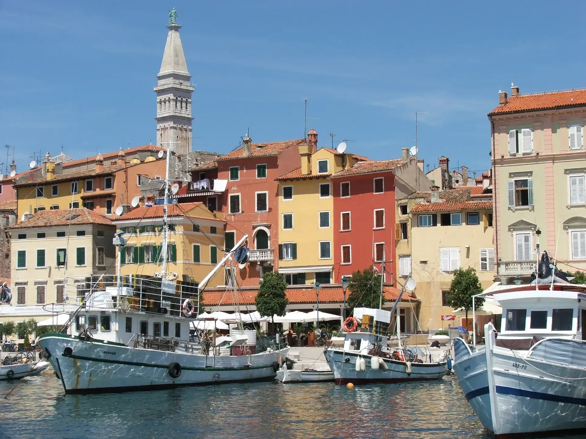
The Harbour Promenade, commonly known as the Riva, traces the southern and eastern coastline of Rovinj's historic old town peninsula. Running primarily along Obala Pina Budicina, the promenade serves as a major pedestrian thoroughfare. It links the town's central square, Trg Marsala Tita, with the winding alleys of the old town and the green coastal parks to the south.
Because Rovinj developed with a concentric, non-grid street pattern, the harbor serves as the primary base for routes leading up through the settlement toward the Church of St. Euphemia.
Island Origins and Waterfront Evolution
Rovinj was originally an offshore island with limited land. Space constraints forced inhabitants to build tall, tightly clustered houses directly against the rocky waterline. In 1763, local authorities filled in the narrow channel separating the island from the mainland, creating the modern peninsula.
For generations, the waterfront was primarily the domain of sailors, dockworkers, shipbuilders, and fishermen, a community historically referred to as la popolana del mare ("the common folk of the sea"). The promenade retained its maritime utility over centuries, though its current widened, structured layout was established in the 1950s.
A Living Fishing Port
Despite Rovinj's development as a Mediterranean destination, the Riva maintains its identity as a working Istrian fishing hub. Trawlers and small vessels tie up along the quays, where local fishermen unload their morning catches daily.
Along the harbor's working corners, several historic fishermen's houses still retain original stone sea steps that drop directly from the doorways into the water. Traditional wooden boats known as batanas—indigenous flat-bottomed craft designed for local waters—remain moored beside the pier.
Maritime Culture and Daily Life
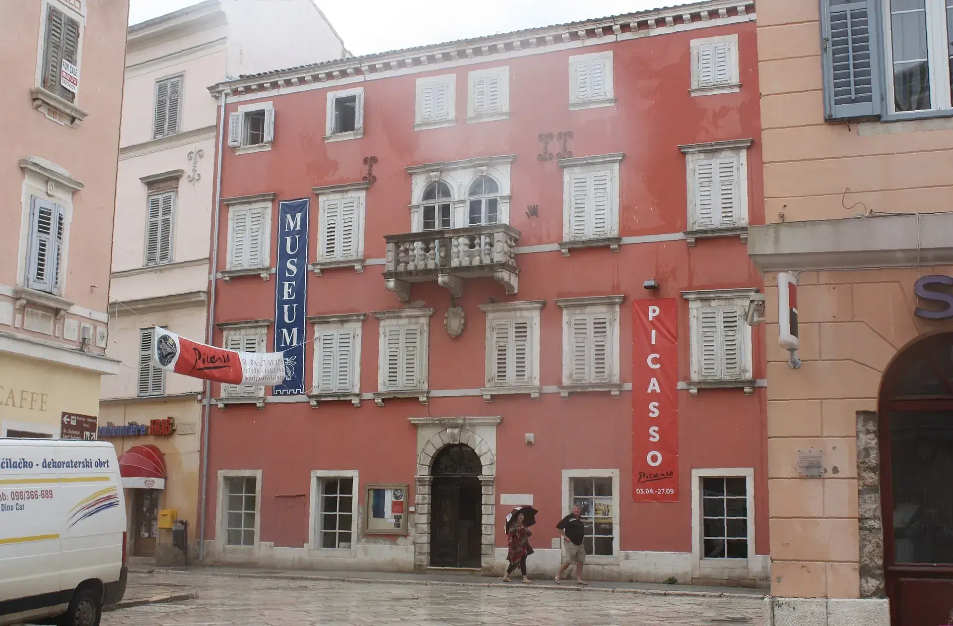
The Riva is also home to the Batana Eco-Museum, located at Obala Pina Budicina 2. The museum documents the town's seafaring heritage, including the bitinada, a distinctive style of dialect folk singing that originated among local fishermen during their daily harbor routines.
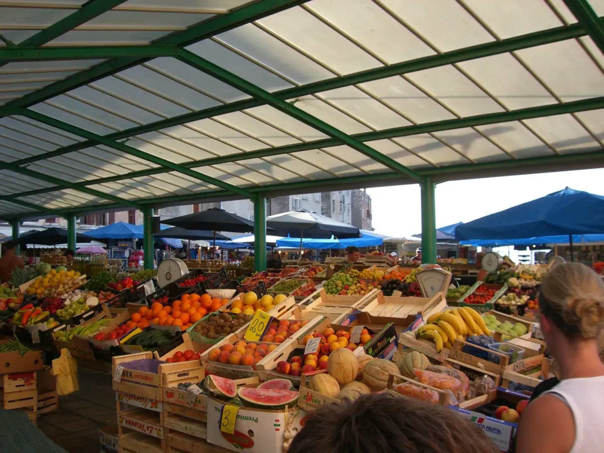
Today, the waterfront blends this maritime routine with public life. Cafes, bars, and seafood restaurants line the promenade beneath pine trees, set against the sounds of the morning market, clinking boat masts, and the scent of salt air and grilled fish.
FAQ
What is the Batana Eco-Museum on the Riva?
Located at Obala Pina Budicina 2, the Batana Eco-Museum is dedicated to preserving Rovinj's maritime heritage, particularly the traditional flat-bottomed batana fishing boats and the local bitinada dialect folk singing tradition.
When was the Riva connected to the mainland?
Rovinj was an island until 1763, when the channel separating it from the mainland was filled in. The widened, modern layout of the waterfront promenade was finalized in the 1950s.
What unique architectural features remain along the harbor?
Several historic fishermen's houses along the working edges of the harbor still feature original sea steps that lead directly from the buildings down into the sea.