The Argyle Cut: Historic Sandstone Road in Sydney's Rocks
The Argyle Cut stands as a primary example of how early colonial Sydney reshaped its harsh sandstone geography. Located in The Rocks, this deep, heritage-listed road cutting along Argyle Street transformed an impassable rocky peninsula into a unified urban landscape.
A City Divided by Stone
Prior to the creation of the cut, a high sandstone ridge divided The Rocks into two separate areas. This natural barrier forced residents and cargo carriers to make long detours around Dawes Point or endure steep climbs over rough rock steps to travel between Sydney Cove and Millers Point. Recognizing the need for a direct route, private landowners, including Alexander Berry, initially proposed excavating the ridge in exchange for toll rights. However, the government rejected this privatization scheme in favor of a public works project.
Convict Labor and Explosives
In 1843, Colonial Engineer Lieutenant Colonel George Barney initiated the excavation. Convict chain gangs, many originating from the nearby Hyde Park Barracks, were tasked with hewing through the solid rock face. Armed only with basic hand tools like picks and shovels, the men worked in chains and faced brutal conditions, including floggings by overseers. The manual labor proved too slow and grueling, leading to the project's abandonment before the central barrier was breached.
The Sydney Municipal Council eventually resumed the project. Between 1859 and 1864, the council successfully completed the cutting using paid labor and black powder explosives to blast through the remaining sandstone.
Rebuilding and Recycling
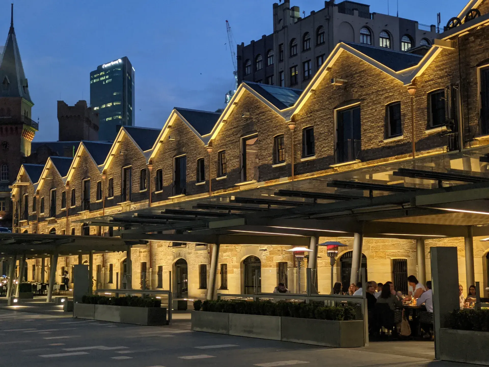
The excavation generated a massive amount of sandstone rubble, which was efficiently recycled to construct key early Sydney infrastructure. The stone was used as landfill for Circular Quay, reclamation material at Darling Harbour, and for the seawall around Farm Cove, as well as in the construction of stone buildings like Campbell's Storehouses.
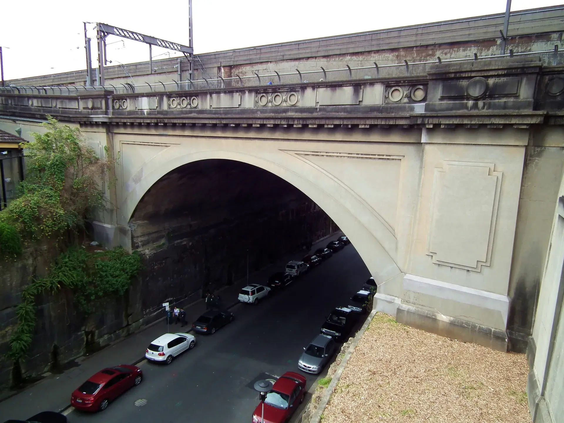
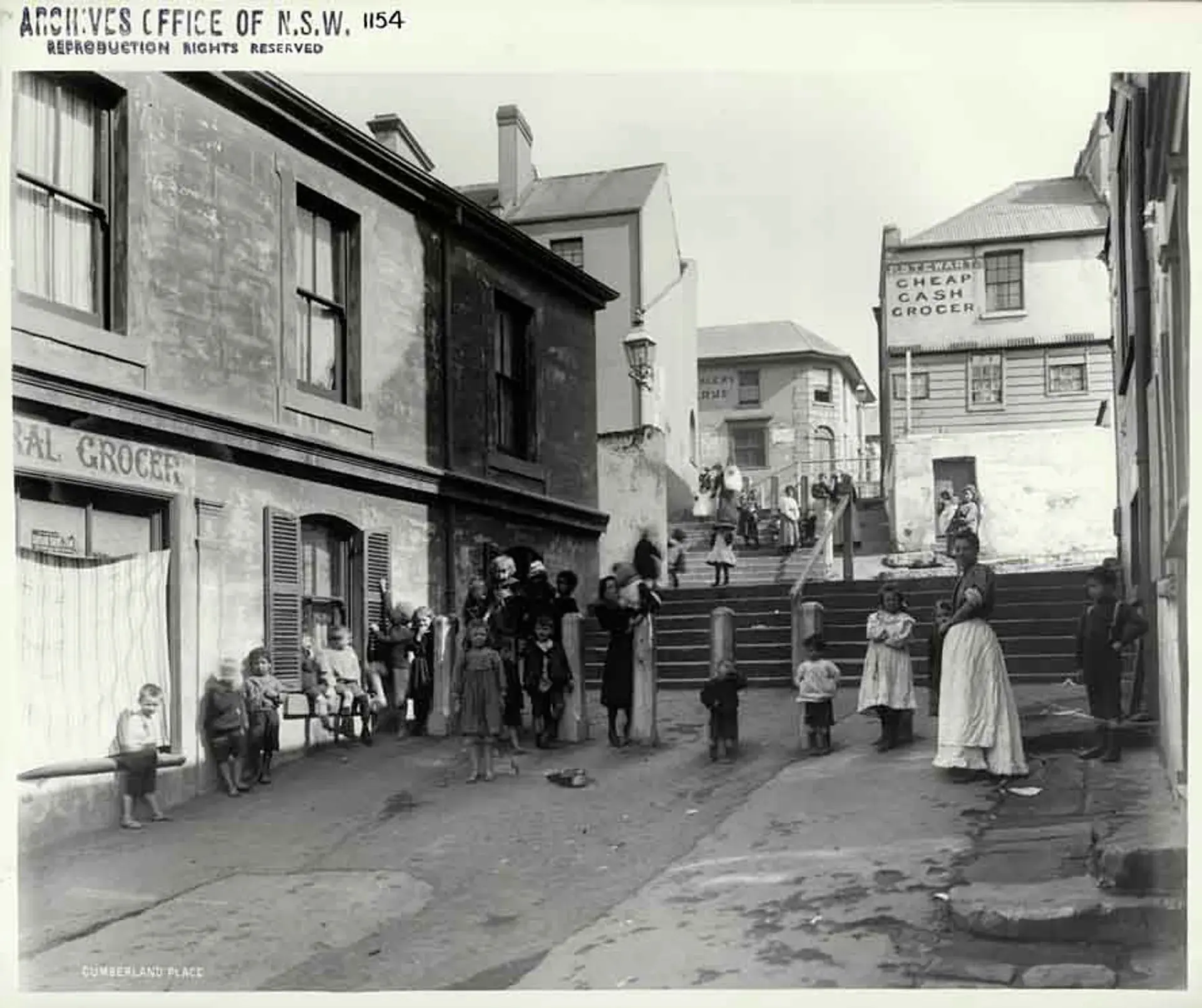
As the cut severed existing routes, overhead road bridges were constructed in the 1860s to reconnect Gloucester, Cumberland, and Princes Streets. Later, in the 1910s and 1920s, the Argyle Cut was widened to accommodate new structural bridges, including the Bradfield Highway approach for the Sydney Harbour Bridge.
A Modern Heritage Landmark
Today, the Argyle Cut serves as an active public roadway and pedestrian thoroughfare connecting Circular Quay, Millers Point, and Observatory Hill. It is a prominent feature on heritage tours of The Rocks precinct. The sheer, towering walls create a shaded, tunnel-like acoustic enclosure. Along the rock face, the physical history of the excavation remains visible, with the rough pick and chisel marks of the early convict laborers contrasting sharply against the smoothed surfaces left by the later explosive blasting.
FAQ
Who built the Argyle Cut?
The Argyle Cut was initially excavated in 1843 by convict chain gangs using hand tools like picks and shovels. It was later completed between 1859 and 1864 by the Sydney Municipal Council using paid labor and black powder explosives.
Why was the Argyle Cut excavated?
A high sandstone ridge originally divided The Rocks, requiring long detours for transport and pedestrians. The cut was created to provide a direct roadway connection between Sydney Cove and Millers Point.
What happened to the stone removed from the Argyle Cut?
The excavated sandstone rubble was recycled to build key infrastructure in early Sydney, including landfill for Circular Quay, the Farm Cove seawall, and local stone buildings like Campbell's Storehouses.