Circular Quay Wharf: History of Sydney's Transit Hub
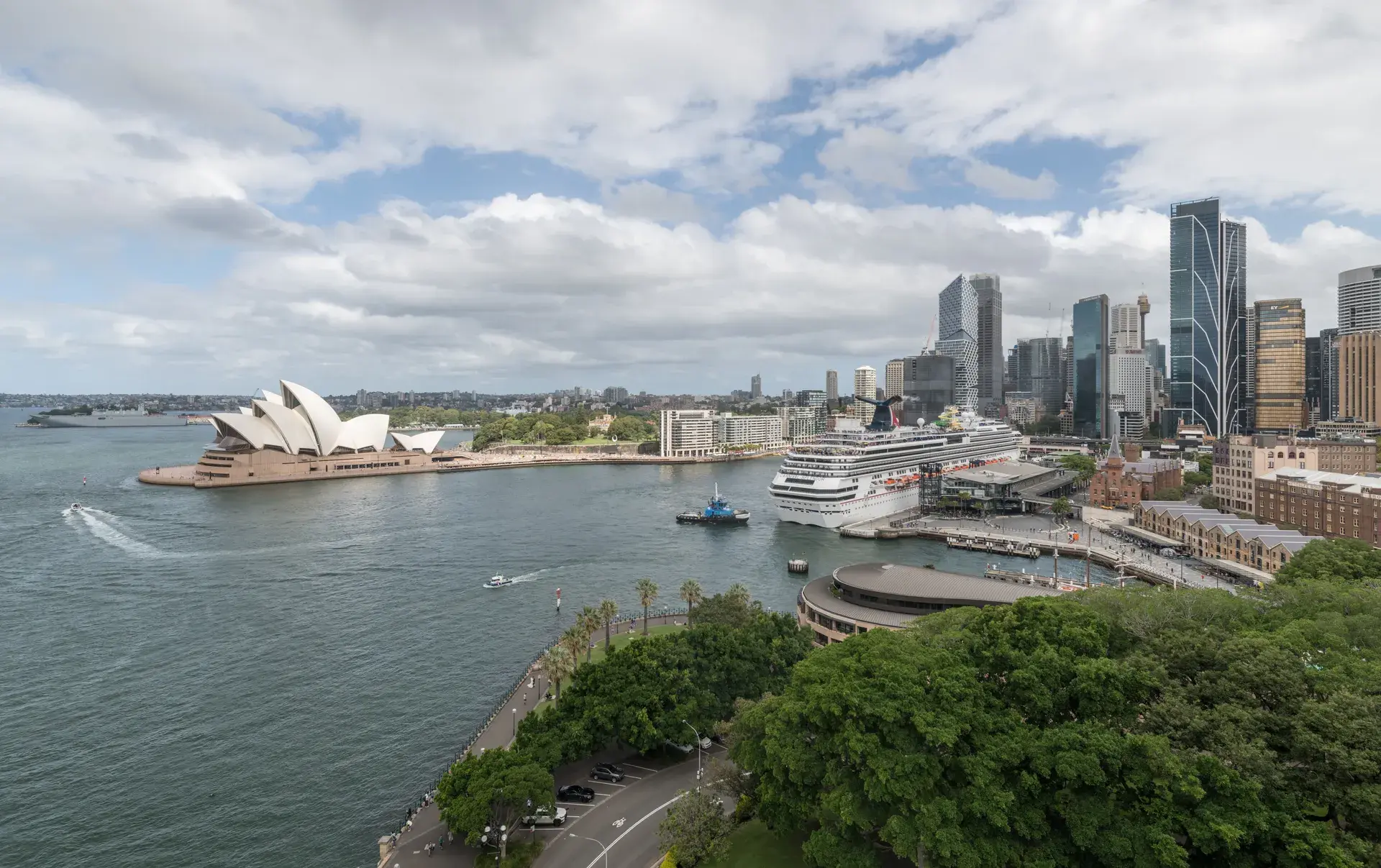
The historic landing place of the First Fleet is now a bustling, multimodal gateway between Sydney's oldest neighborhood and its most famous architectural icons. Located at the head of Sydney Cove between Bennelong Point and Dawes Point, Circular Quay serves as the central passenger transit hub for the city.
The Indigenous Heritage of Warrane
Long before European arrival, the sheltered inlet was known as Warrane by the Gadigal people of the Eora Nation. For tens of thousands of years, the Gadigal clan utilized the area for camping and fishing. The natural shoreline provided abundant resources, with men spearing fish along the banks and women fishing from traditional bark canoes known as nowies.
A Colonial Port and Convict Construction
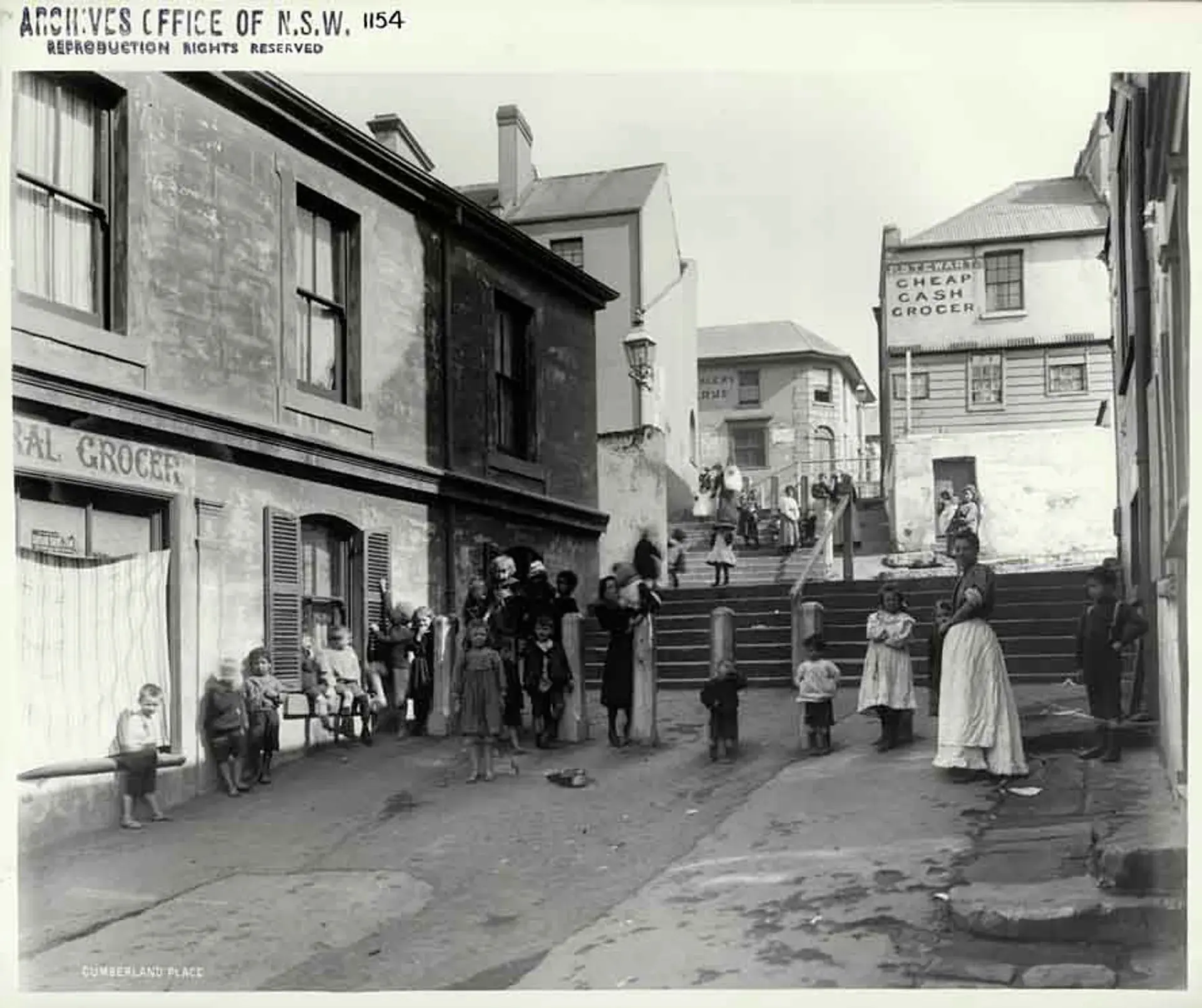
On January 26, 1788, Captain Arthur Phillip landed the First Fleet in Sydney Cove. The site was selected for its deep harbor anchorage and the reliable fresh water supply provided by the Tank Stream. Between 1837 and 1844, convict labor fundamentally altered the landscape, transforming the original tidal mudflats into an artificial stone embankment constructed from locally quarried sandstone. This created a curved layout initially named Semi-Circular Quay, which was eventually shortened to Circular Quay, despite forming a flattened half-moon shape rather than a complete circle.
Evolution into a Modern Transit Hub
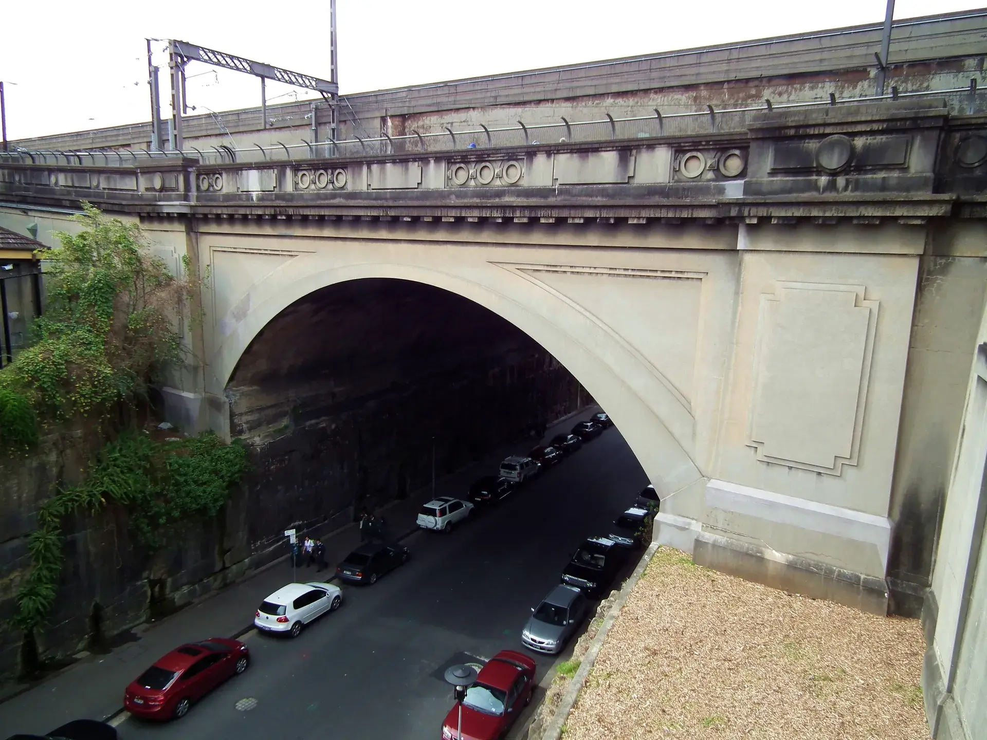
Originally operating as a commercial shipping port and cargo wharf anchored by the 1844 Customs House, the area evolved into a dedicated passenger transit hub in the mid-20th century. The elevated Circular Quay Railway Station opened in 1956 to complete the underground City Circle loop. In 1958, the overhead Cahill Expressway was constructed directly above the station. Today, it operates as a multimodal terminal incorporating five public ferry wharves, a light rail terminus, and a bus interchange. The broad waterfront concourses mix the diesel hum and horns of green-and-yellow ferries with the rumble of overhead trains and the sounds of street performers.
Hidden Curiosities and Cultural Landmarks
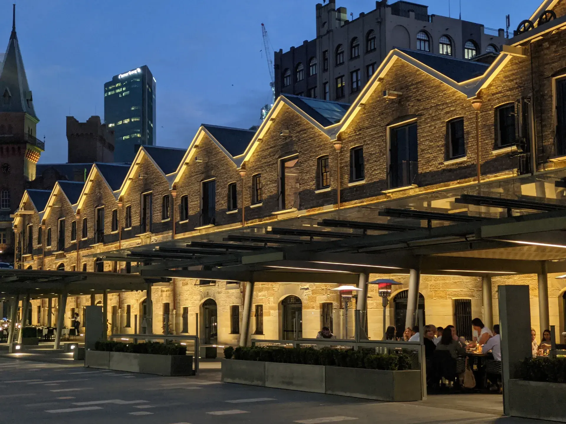
The modern pavement holds subtle markers of the area's deep history. Cast bronze markers embedded along East Circular Quay trace the original 1788 high-tide waterline, indicating where the shore lay prior to convict reclamation. The Tank Stream, which once dictated the placement of the British colony, still flows beneath First Fleet Park and the quay as an underground stormwater drain. Circular Quay Railway Station holds a unique distinction as the only open-air, above-ground station along Sydney's underground City Circle train line. Today, the quay features public boardwalks lined with outdoor dining, the Museum of Contemporary Art Australia, and an Overseas Passenger Terminal, serving as a central gathering space for events like the annual Sydney New Year's Eve fireworks.
FAQ
Why is it called Circular Quay if it is not circular?
The waterfront actually forms a flattened semi-circle. It was originally named Semi-Circular Quay following convict construction in the 19th century, but the name was later shortened to Circular Quay for convenience.
What is the Indigenous name for Circular Quay?
The area is known as Warrane (also recorded as Warrung or War-ran) by the Gadigal people of the Eora Nation, who utilized the inlet for camping and fishing for tens of thousands of years.
Does the original fresh water source of the colony still exist?
Yes, the Tank Stream still exists. While it was once the fresh water supply for the 1788 British colony, it now flows beneath First Fleet Park and Circular Quay as an underground stormwater drain.