Hallstätter Wasserfall: Hallstatt's Lifeline
Geological Origins and the Formation of Hallstatt
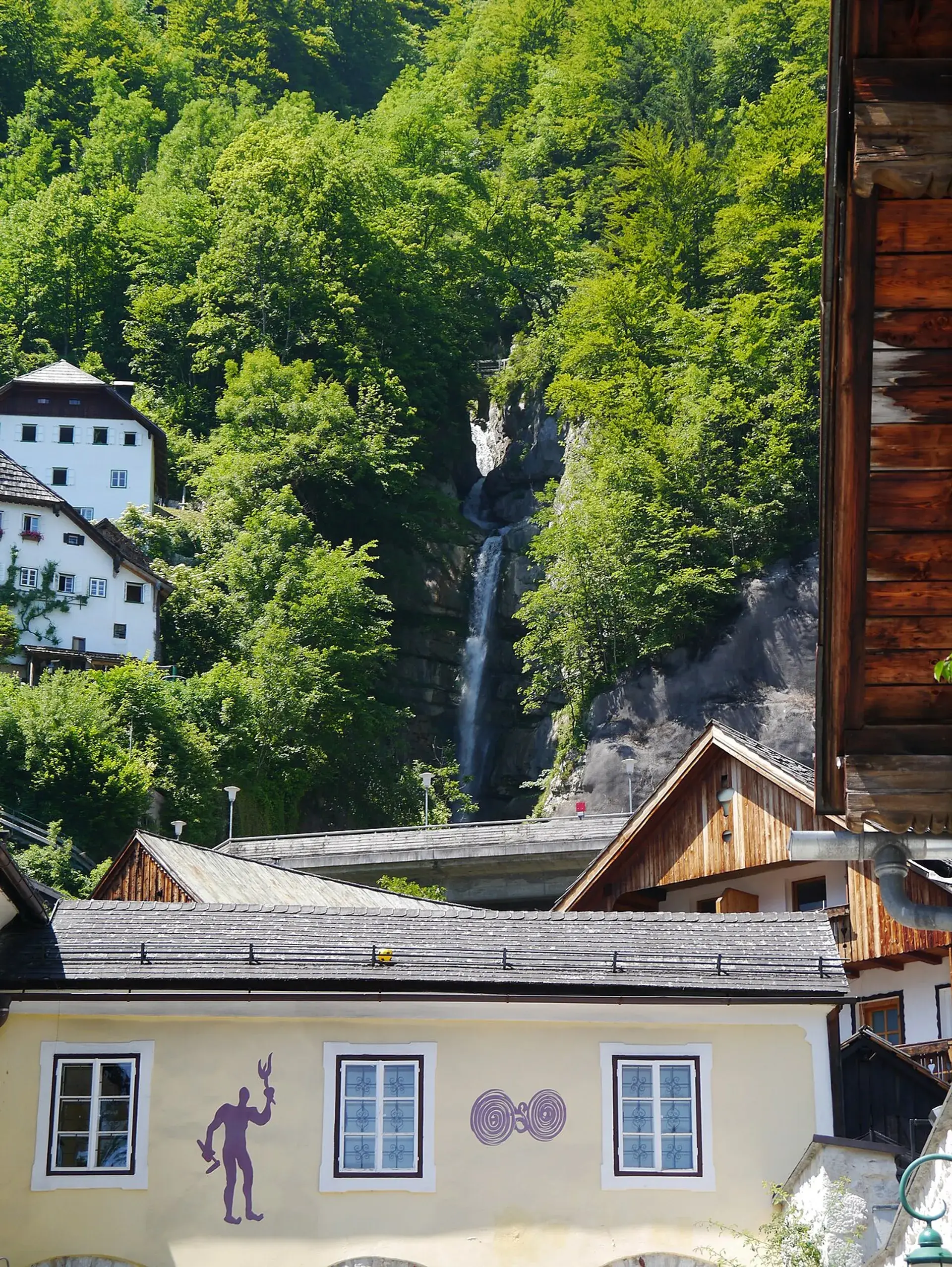
The Hallstätter Wasserfall, formed by the Mühlbach stream, is an integral geological feature of the Salzkammergut region. The torrent originates roughly 1,200 meters above sea level, draining the 3.4-square-kilometer Salzberg high valley—the historical home of Hallstatt's prehistoric salt mines. From these upper reaches, the stream plunges through the Höll gorge, descending between 250 and 300 vertical meters before cascading across the cliffs directly above the village.
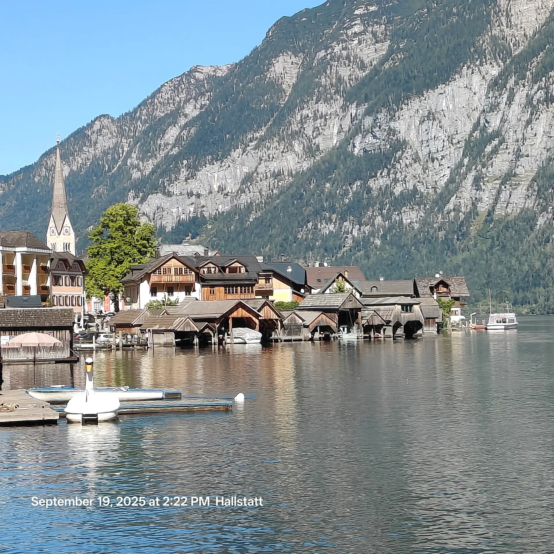
While the waterfall presents a dramatic natural spectacle, it also created the physical ground on which the town sits. Over thousands of years, repeated debris flows transported rock and sediment down the steep mountain face into the lake basin. This accumulated material formed a four-hectare alluvial fan, providing the only flat, buildable foundation for Hallstatt’s historic village center before the stream discharges into Lake Hallstatt near the market landing.
Alpine Mills and Historic Water Channels
The stream’s name, Mühlbach, translates directly to "mill brook," reflecting centuries of industrial use along its steep course. In 1490, a mandate issued by the Habsburg Hofkammer directed regional grain supplies to support the alpine salt miners working in the valley above. To process these provisions, multiple watermills were established directly along the cascade, including the cliffside Felsenmühle.
For centuries, the water was distributed through the town in open wooden flumes known as Fludern. These wooden channels wound tightly between dense clusters of buildings, delivering water power and community supply straight through the residential core until the late 19th century.
Imperial Engineering and Mountain Hazard Control
The steep gradient of the Mühlbach historically posed catastrophic flood risks to the village below. On July 18, 1884, a severe debris flow swept down the mountain, prompting the Austro-Hungarian Torrent Control Department (k.u.k. forsttechnische Abteilung für Wildbachverbauung) to undertake its very first large-scale civil engineering scheme between 1885 and 1888.
To tame the gorge, the empire brought specialist stonemasons from Carniola and Trentino. These workers chiseled heavy local limestone ashlar blocks to construct check dams, retaining walls, and fortified channels above the village rooftops. Modern challenges still require intervention; in June 2013, heavy rainfall led to channel blockages (Verklausung), washing mud and boulders into the Marktplatz and necessitating military assistance for cleanup. Today, the channel network remains under active monitoring and maintenance by the Austrian Torrent and Avalanche Control.
Viewing the Falls and Cultural Legacy
The dramatic drop of the Mühlbach has long drawn artistic recognition. In the 19th century, Austrian painter Thomas Ender captured the waterfall in detailed landscape studies, which are now preserved in the Princely Collections of Liechtenstein.
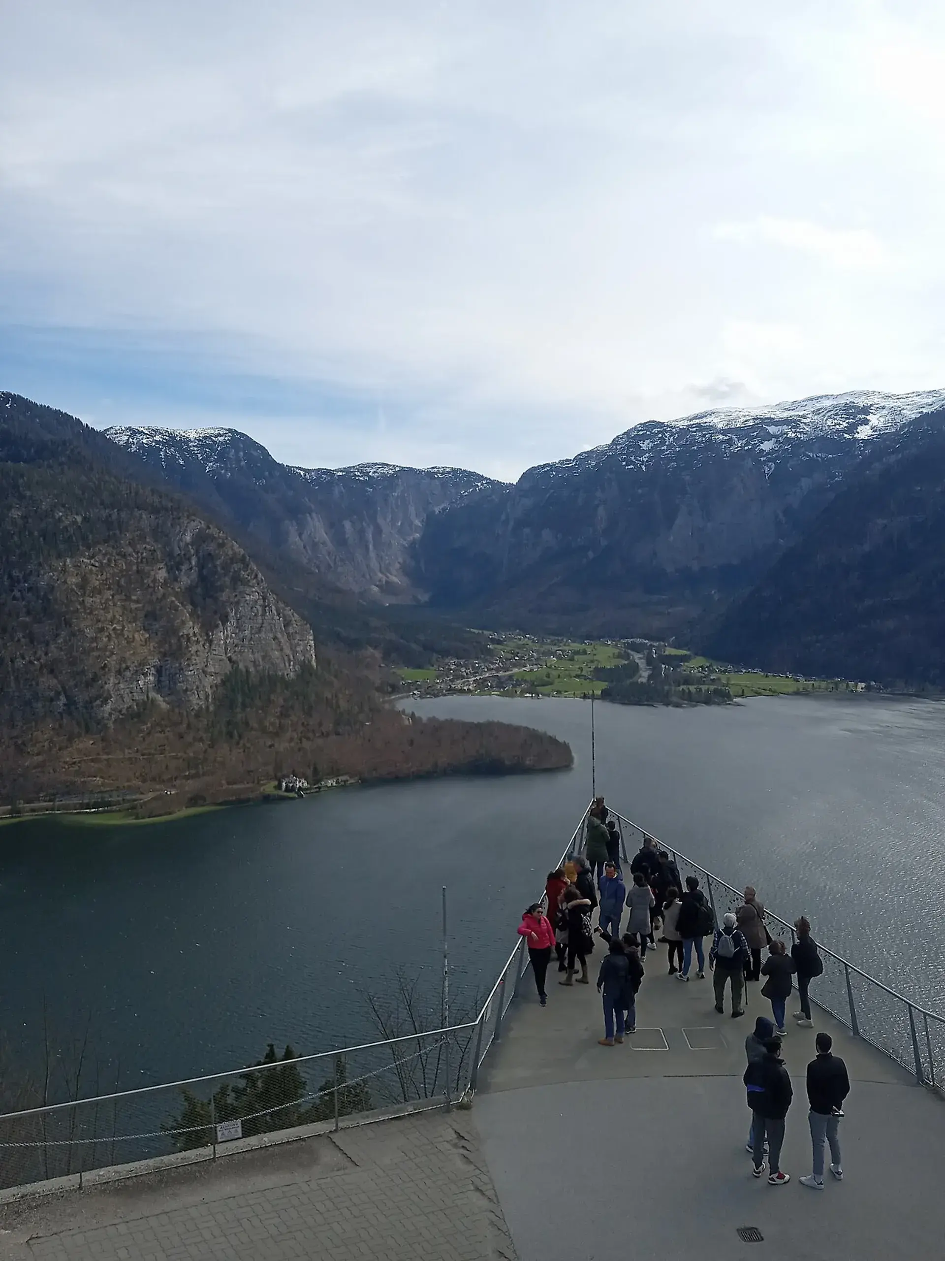
The deep rumble of rushing alpine water echoes through the narrow lanes long before the cascade is seen, carrying cool drafts and mist into the village streets. Observers can view the falls from boats out on Lake Hallstatt, from lakeside roads, and from viewpoints adjacent to the hillside road tunnel. On foot, stone routes such as the Müllerstiege connect village alleyways to the historic Soleweg brine pipeline trail and the Mühlbachterrasse viewing platform, allowing pedestrians to trace the continuous flow of the torrent as it passes cliff-hung houses and slips beneath footbridges into the lake.
FAQ
Where does the Hallstätter Wasserfall originate?
The waterfall is fed by the Mühlbach, which originates approximately 1,200 meters above sea level and drains the 3.4-square-kilometer Salzberg high valley above Hallstatt.
How did the waterfall help form the village of Hallstatt?
Over millennia, debris flows from the torrent deposited an alluvial fan spanning four hectares, creating the sole flat ground on which Hallstatt's historic center could be built.
Why were stone channels built along the Mühlbach?
Following a devastating debris flow in July 1884, Austro-Hungarian engineers and specialist stonemasons built limestone check dams and ashlar retaining walls between 1885 and 1888 to protect the village from alpine flash floods.