Ušće Trešanice: Konjic's Historic River Confluence
The Confluence of the Trešanica and Neretva
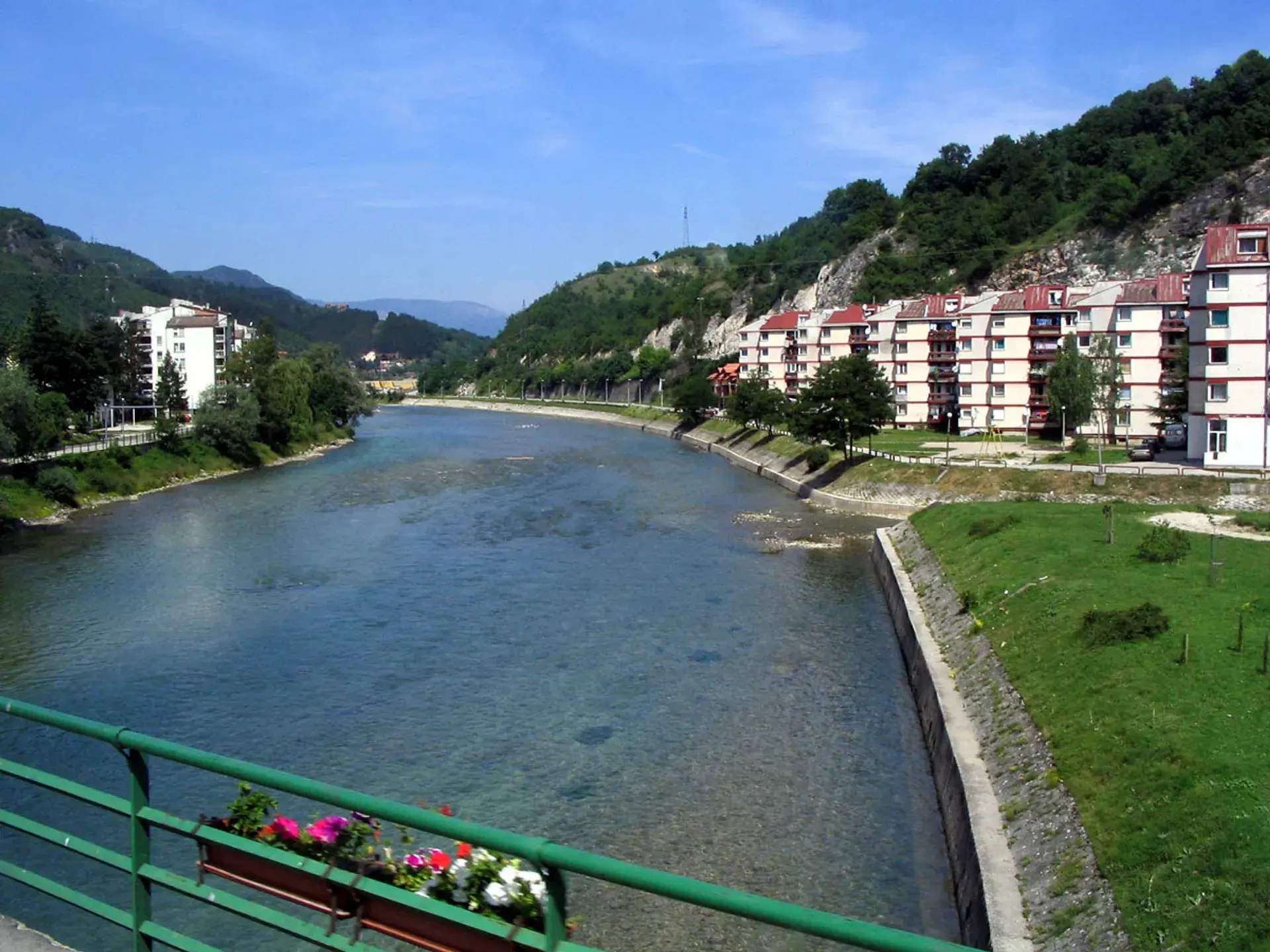
In the urban center of Konjic, the Trešanica River reaches its end, emptying as a right tributary into the Neretva River. Originating on the slopes of Mount Bitovnja above the village of Bradina, the Trešanica flows for approximately 30 to 33 kilometers over rapids, cascades, and gravel shoals. Both waterways belong to the Adriatic Sea drainage basin.
The confluence creates an environmental contrast between the rushing mountain torrent of the Trešanica and the broader, emerald-green channel of the Neretva. Channeled between Mount Bitovnja and Mount Prenj, valley winds accompany the continuous roar of the mountain cascades as they merge with the main river.
Ancient Crossroads and Archaeological Heritage
The alluvial flatland around the river mouth, historically known as Polje, has sustained human habitation since prehistoric times. Archaeological excavations near the confluence have uncovered Neolithic traces alongside extensive Roman structural remains, including building foundations, bricks, and lime mortar.
During antiquity, this crossing served as a vital segment of the Roman roadway linking the Adriatic trading port of Narona to the interior of Bosnia, connecting onward toward the Sarajevo Plain and the Danube basin. Archaeologists uncovered a Roman road milestone dedicated to Emperor Decius (dating to 249–251 CE) and a marble head of a female figure from the 3rd to 4th century CE. Additionally, two Roman-era stone cremation urns were discovered near the mouth of the river.
Urban Growth and Water Management
The natural intersection of the rivers helped establish Konjic’s historical layout, which is defined as spanning both banks of the Neretva around the mouth of the Trešanica. The settlement along the right bank eventually grew into the Trešanica quarter, taking its name from the waterway. Local linguistic tradition connects the name Trešanica to the Slavic verb tresti ("to shake" or "tremble"), a reference to the rumbling vibration generated by the river's mountain rapids.
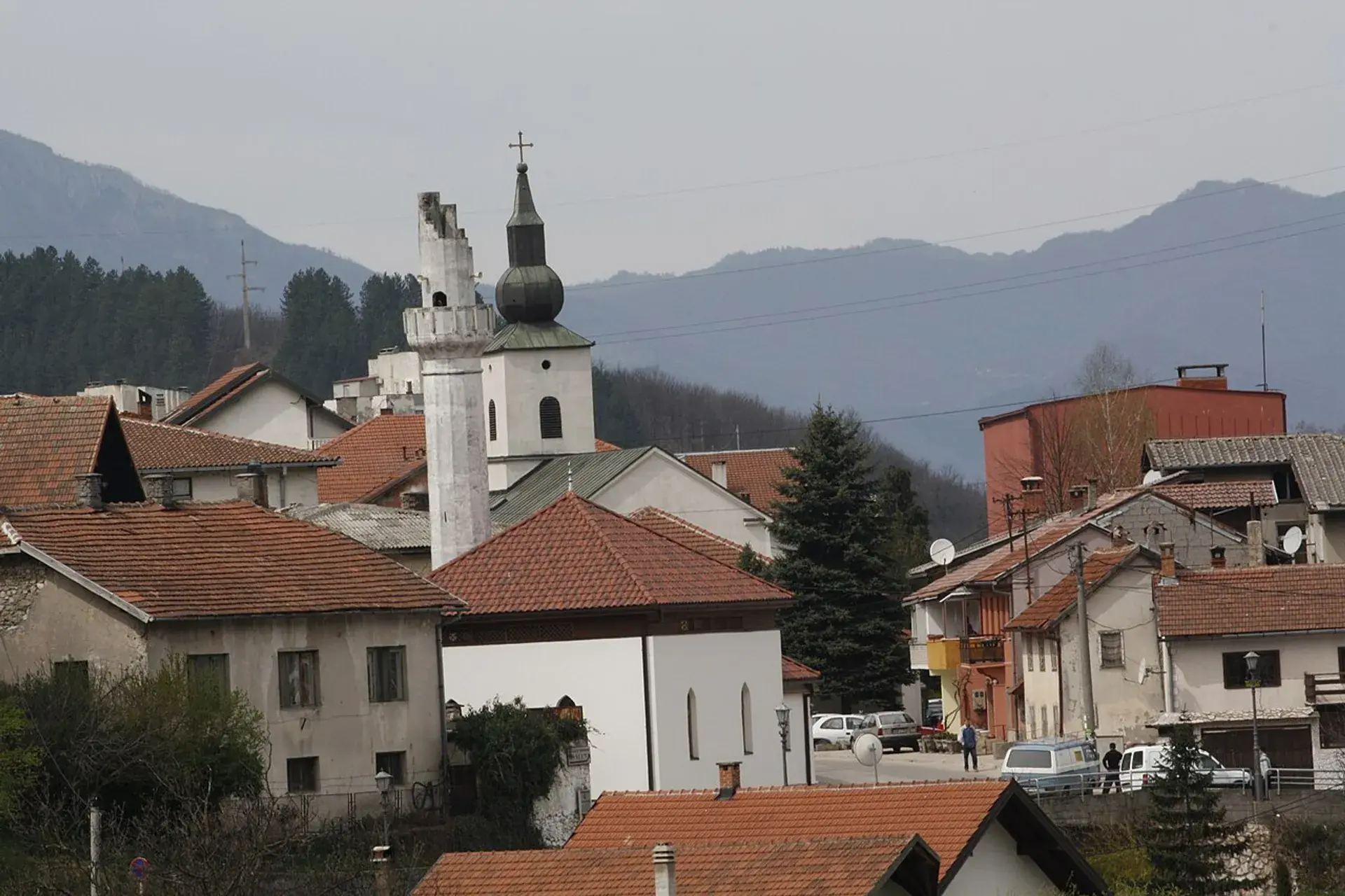
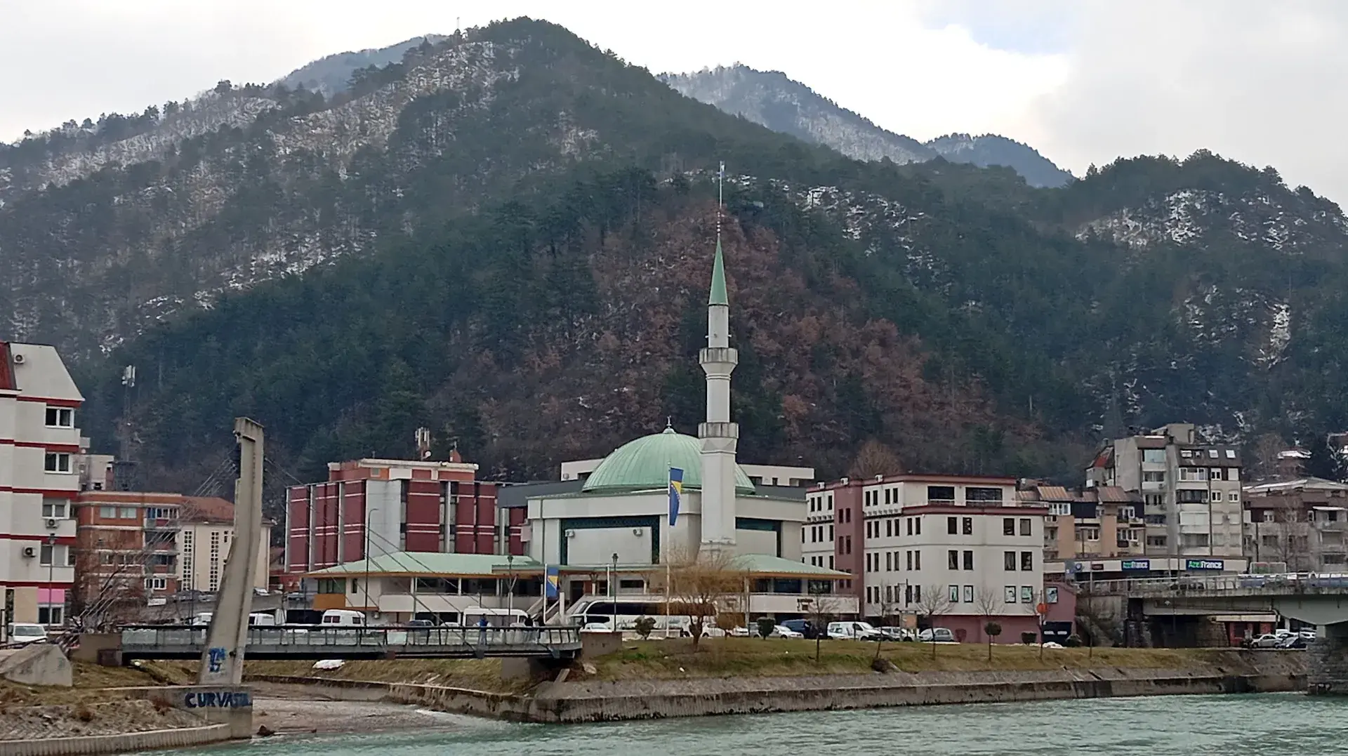
Today, the river mouth is framed by residential quarters, roadways, pedestrian paths, and river crossings such as the Pavo Anđelić Bridge situated upstream. It sits close to Konjic's Ottoman historic center and the Stara Ćuprija (Old Bridge). Because the Trešanica washes heavy loads of gravel and silt down from the mountains, the Adriatic Sea River Basin Agency and municipal teams carry out periodic dredging at the junction to maintain channel flow and mitigate flood risks.
FAQ
What is the origin of the Trešanica River?
The Trešanica River originates on the slopes of Mount Bitovnja above the village of Bradina and flows 30 to 33 kilometers before emptying into the Neretva.
What archaeological artifacts were discovered near the confluence?
Excavations in the Polje area uncovered Neolithic traces, Roman building foundations, two stone cremation urns, a 3rd-to-4th-century marble female head sculpture, and an imperial milestone dedicated to Emperor Decius.
What does the name Trešanica mean?
According to local linguistic tradition, the name Trešanica derives from the verb tresti, meaning to shake or tremble, referring to the rumbling noise of its rushing rapids.
Why is dredging necessary at Ušće Trešanice?
The river carries significant amounts of silt and gravel down from Mount Bitovnja. Regular dredging by municipal services and the Adriatic Sea River Basin Agency preserves channel capacity and prevents flooding.