Strøget: Historic Pedestrian Street of Aarhus
Strøget serves as the baseline geographic anchor of Aarhus, Denmark. This vibrant, 850-metre pedestrian corridor physically bridges the city's 19th-century railway developments in the south with its original medieval heritage in the north. Recording roughly 14 million visitors annually, it stands as a bustling center of everyday street life.
A Timeline from Station to Cathedral
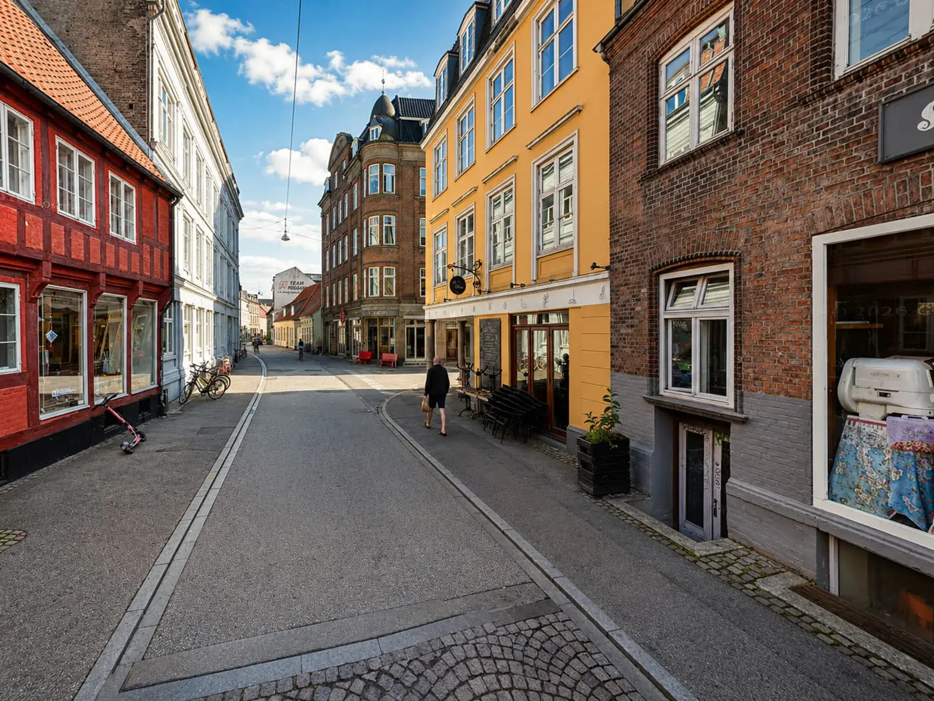
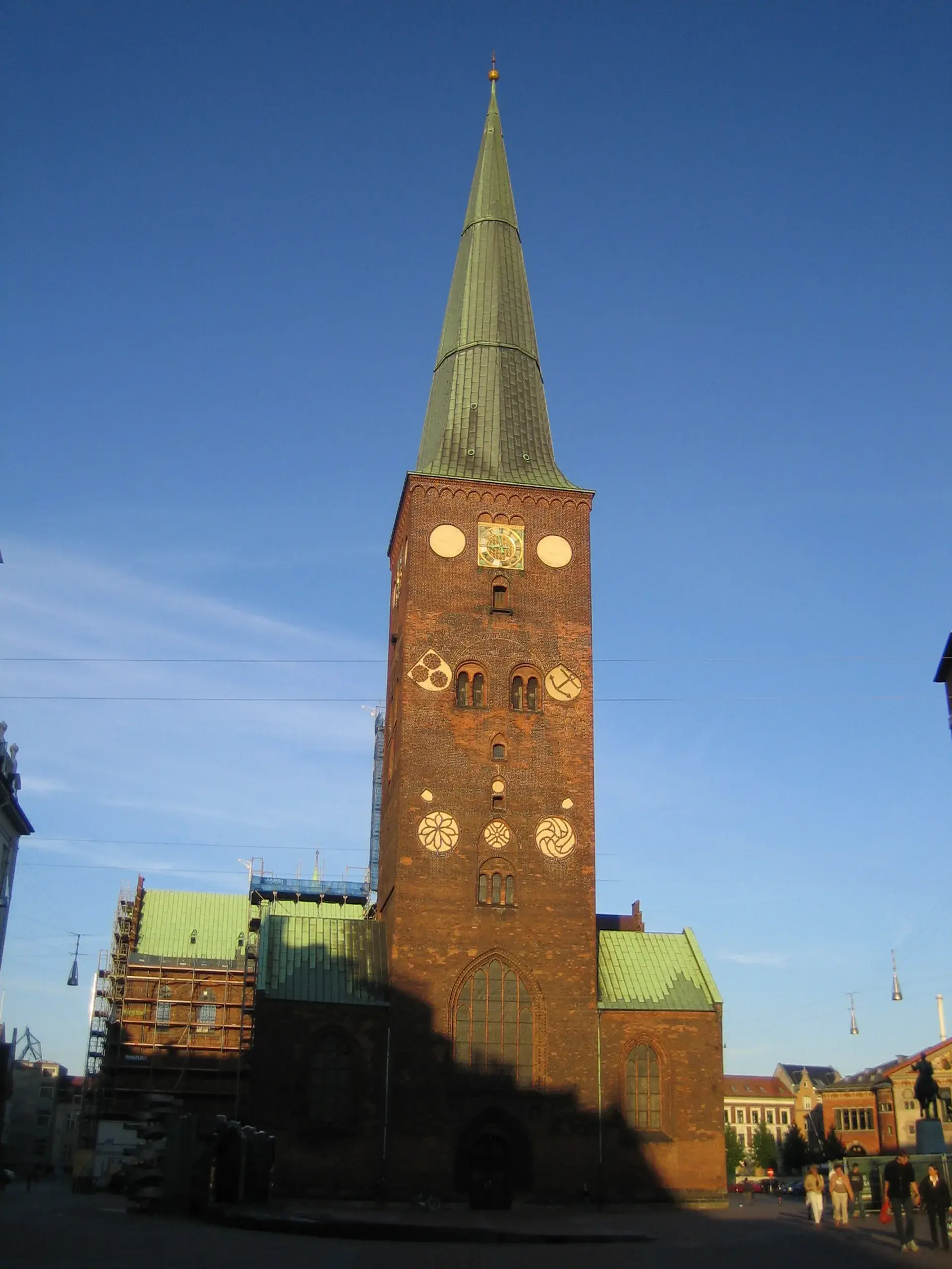
The continuous car-free thoroughfare is composed of distinct sections: Ryesgade, Søndergade, and Skt. Clemens Torv and Bro. The route stretches from Aarhus Central Station at the southern end to Store Torv and the Aarhus Cathedral in the north. Skt. Clemens Bro, constructed in 1884, bridges the Aarhus River to link these southern commercial streets directly to the older Viking and medieval core. Walking along the flat-to-sloped granite flagstones, pedestrians traverse an exact timeline of urban expansion.
The Evolution of an Urban Artery
Aarhus expanded southward following the abolition of town gates and trade tolls in 1851. Søndergade was constructed in the 1850s and 1860s, followed by Ryesgade in 1873 to provide a link to the central railway station. Electric streetcars operated along these roads from 1904 until 1971. The modern pedestrian era began in 1972 when Søndergade was closed to traffic and its tram rails were removed. During this project, underground heating pipes were installed beneath the paving stones to melt snow and keep the walkway clear during winter.
While Søndergade embraced the change, shopkeepers on Ryesgade initially fought the removal of cars out of fear that losing drive-by traffic would kill trade. Nearly 30 years later, these merchants reversed their stance, requesting the full pedestrianisation of Ryesgade, which was completed between 2001 and 2002.
Modern Retail and Hidden Heritage
Today, Strøget operates as a continuous pedestrian retail axis lined with local boutiques, cafés, and major department stores. A prominent landmark is the Salling department store on Søndergade. The structure features a multi-tiered rooftop garden equipped with a glass skywalk suspended over the street, offering broad panoramic views of the city.
Beyond modern retail, the street holds ancient secrets. Directly beneath the cobblestones of Skt. Clemens Torv, a Viking Museum is hidden inside a bank basement. The museum is situated on the exact site where 1,000-year-old Viking ramparts and street levels were excavated.
FAQ
How long is Strøget in Aarhus?
Strøget is an 750 to 850-metre continuous car-free thoroughfare that connects Aarhus Central Station to Aarhus Cathedral.
When was Strøget pedestrianised?
Søndergade was pedestrianised in 1972, while Ryesgade was fully closed to vehicles between 2001 and 2002.
What is beneath the paving stones of Søndergade?
During the 1972 pedestrianisation, underground heating pipes were installed beneath the granite flagstones to melt snow during winter weather.
Is there a museum on Strøget?
Yes, a Viking Museum is located beneath the cobblestones of Skt. Clemens Torv in a bank basement, built around excavated 1,000-year-old Viking ramparts.