Vadestedet: Reborn River Promenade in Aarhus
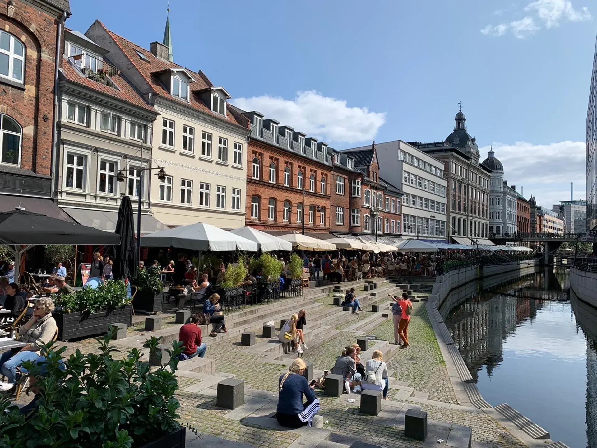
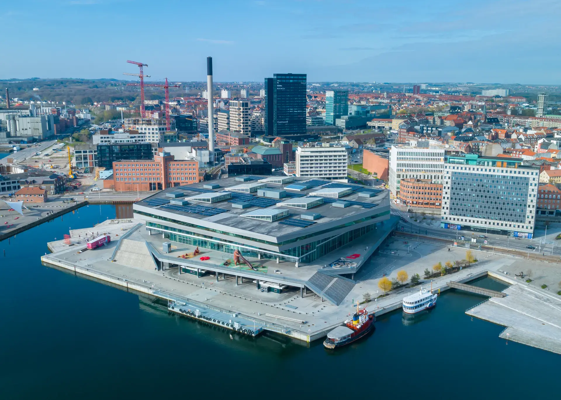
Vadestedet sits along the lively canal edge of Åboulevarden, where outdoor seating and bustling waterside walkways define the city's social heart. Situated along a 975-meter boulevard bisected by the Aarhus River, this vibrant public space connects major landmarks like Mølleparken, the Latin Quarter, and Dokk1 at the harbor.
The Origins of Aarhus
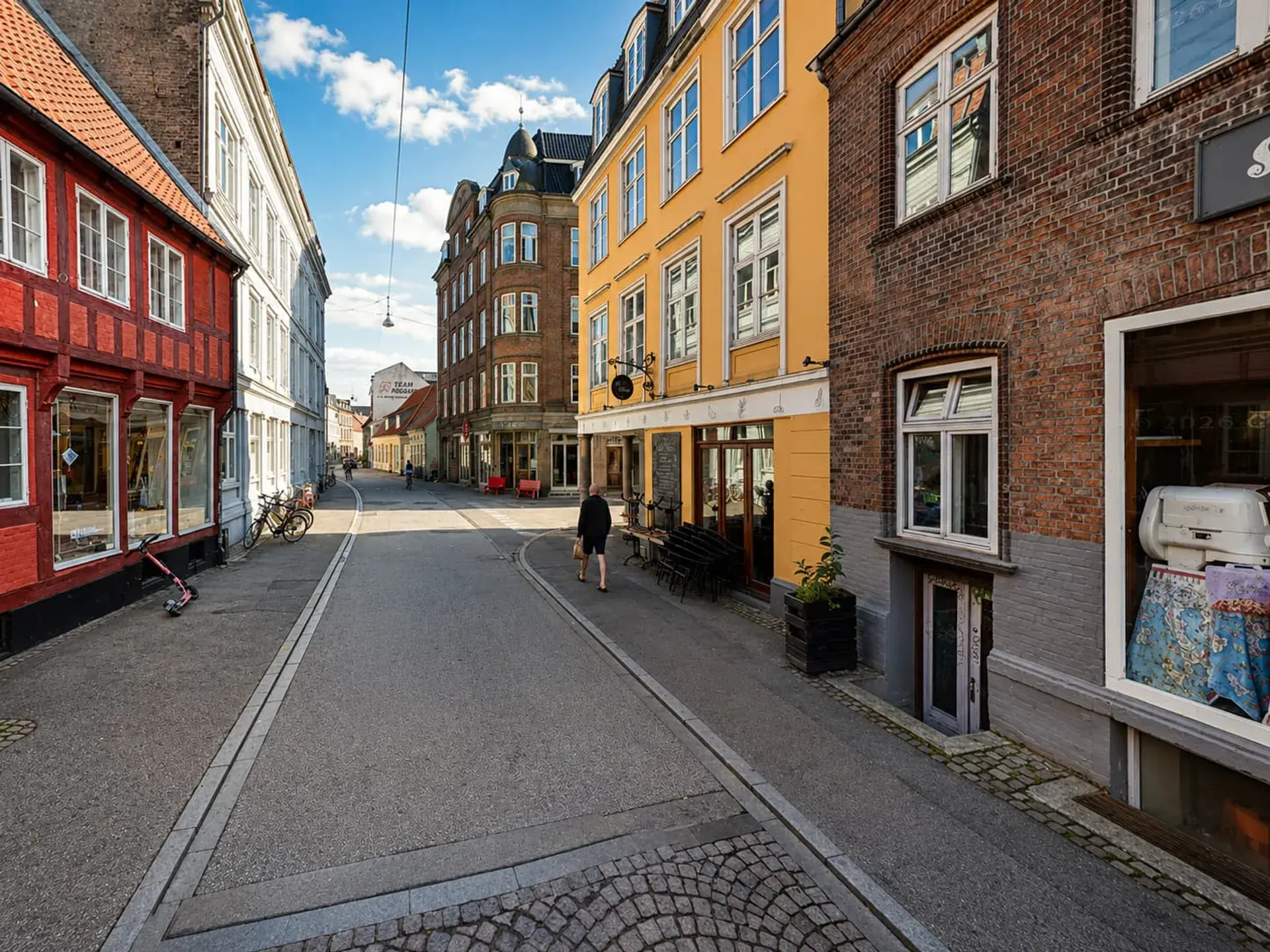
Vadestedet, which translates to "The Ford," marks the site of a natural shallow river crossing utilized prior to the city's founding in the late 700s AD. The city of Aarhus owes its name to this very river; its original Viking-Age name, Aros, translates to "river mouth." The community around this mouth grew into a fortified settlement during the 8th century. By 1477, housing expanded along the southern ramparts, and the riverbank path was widened into a street named Aagade in 1674. Nearby, the pedestrian street Immervad continues this historic legacy. The name derives from "immer vad," meaning an always navigable ford, with theories suggesting "immer" references the German word for "always" or an individual named Emmer.
A River Buried and Reborn
To accommodate rising automobile traffic, city expansion, and downtown parking, the Aarhus River was entirely paved over with concrete and asphalt between 1930 and 1958. For nearly 60 years, the historic waterway that gave the city its name was hidden beneath the road known as Åboulevarden.
In 1985, a drainage maintenance crew accidentally cracked open part of the underground river channel near St. Clemens Bridge. This exposed daylight to the running water and revitalized public campaigns to unpave the river. The Aarhus City Council voted to reopen the waterway in 1989. Restoration work commenced in 2005, with the central Vadestedet section officially inaugurated in June 2008 and the final harbor extension completed in 2015.
A Modern Waterfront Hub
Today, Vadestedet and the eastern stretch of Åboulevarden operate as a central café, dining, and nightlife district. The entire northern side of the boulevard is pedestrianized, creating a bustling promenade lined with restaurants and outdoor bars. The waterfront features terraced wooden and granite steps that step down directly to the water level, providing a popular area for outdoor lounging and dining.
Outdoor seating remains active year-round, utilizing patio heaters and blankets during colder months. The environment blends the gentle rush of open river water with the hum of dining crowds and clinking tableware along the stone and wooden riverbank steps.
Ecological Restoration
The removal of the concrete cover sparked a significant ecological recovery in central Aarhus. Following the urban restoration of the central canal, aquatic wildlife returned to the area after decades of absence. Species such as brown trout, perch, grey herons, and kingfishers can now be found inhabiting the unpaved waterway.
FAQ
What does the name Vadestedet mean?
Vadestedet translates to "The Ford," marking a natural shallow river crossing that was used before the city of Aarhus was founded in the late 700s AD.
Why was the Aarhus River originally paved over?
Between 1930 and 1958, the river was completely covered with concrete and asphalt to accommodate increasing automobile traffic, downtown parking needs, and urban expansion.
When did the Vadestedet riverfront reopen to the public?
The central Vadestedet section of the river was officially inaugurated in June 2008, following a 1989 City Council vote to uncover the waterway. The final harbor extension was later completed in 2015.