Relief Map of Montenegro: A Cetinje Landmark
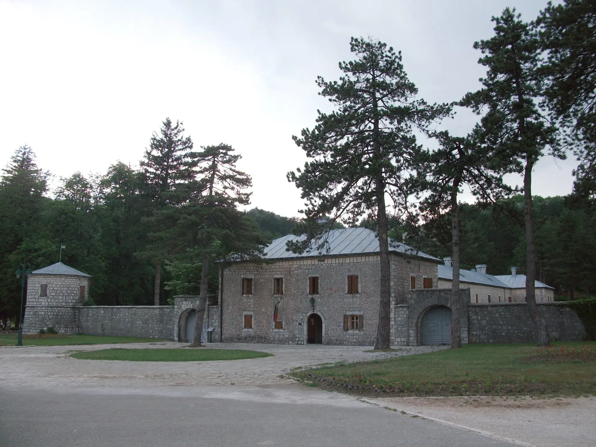
In Cetinje, within the courtyard of the historic Biljarda, a distinctive pavilion shelters the incredible Relief Map of Montenegro. This large-scale topographical model offers a detailed look at the nation's geography, preserved as a unique historical and cultural artifact.
A Tool of War
The map's origins date back to World War I. Following the Austro-Hungarian Army's occupation of Cetinje, the map was constructed in 1916. Its primary purpose was strategic military planning for the occupying forces, whose headquarters were established in Biljarda. This military tool was designed to give a precise overview of the challenging Montenegrin terrain.
Meticulous Construction
Built at a scale of 1:10,000, the map was created from concrete on a stone base, using highly accurate Austrian topographic maps and land surveys. The construction was carried out by Austro-Hungarian military cartographers, with the forced participation of Montenegrin prisoners of war, including the notable sculptor Marko Brežanin. To achieve the correct elevations, a network of thin metal rods was installed, and concrete was manually filled in to match the landscape's contours.
A Detailed Topographical Record
The finished map is a detailed representation of Montenegro's diverse terrain, from its high mountains and karst regions to its narrow coastal plains. It was meticulously painted to show the road networks, water bodies, forests, and populated areas of the period. The map also includes segments of neighboring countries like Bosnia and Herzegovina, Croatia, Albania, and Serbia. To allow for detailed observation, a special bridge was constructed over the central part of the map.
From Military Asset to National Treasure
In a remarkable turn of history, this tool of an occupying army was later embraced by the nation it was used to control. On September 14, 1948, the Relief Map of Montenegro was officially recognized as a national cultural heritage monument. This transition from a wartime military asset to a cherished cultural exhibit highlights a complex and ironic chapter in Montenegro's past.
The Map Today
Today, the Relief Map of Montenegro is a prominent tourist attraction and educational exhibit within the National Museum of Montenegro. Housed in a glazed metal structure that replaced the original pavilion in the early 1980s, it is accessible to visitors with a ticket to the Njegoš Museum in Biljarda. The unventilated conservatory can become quite warm, with temperatures reportedly reaching 35°C during heatwaves.
FAQ
When was the Relief Map of Montenegro built?
The map was constructed in 1916 during the Austro-Hungarian occupation of Montenegro in World War I.
Who built the Relief Map of Montenegro?
It was built by Austro-Hungarian military cartographers with the participation of Montenegrin prisoners of war, including the sculptor Marko Brežanin.
What is the scale of the Relief Map of Montenegro?
The map was created at a precise scale of 1:10,000 using Austrian topographic maps and land surveys.
Where is the Relief Map of Montenegro located?
It is located in a special pavilion in the courtyard of Biljarda in Cetinje, which is part of the National Museum of Montenegro.