Stolac Fort (Vidoški Grad): Bosnia's Historic Citadel
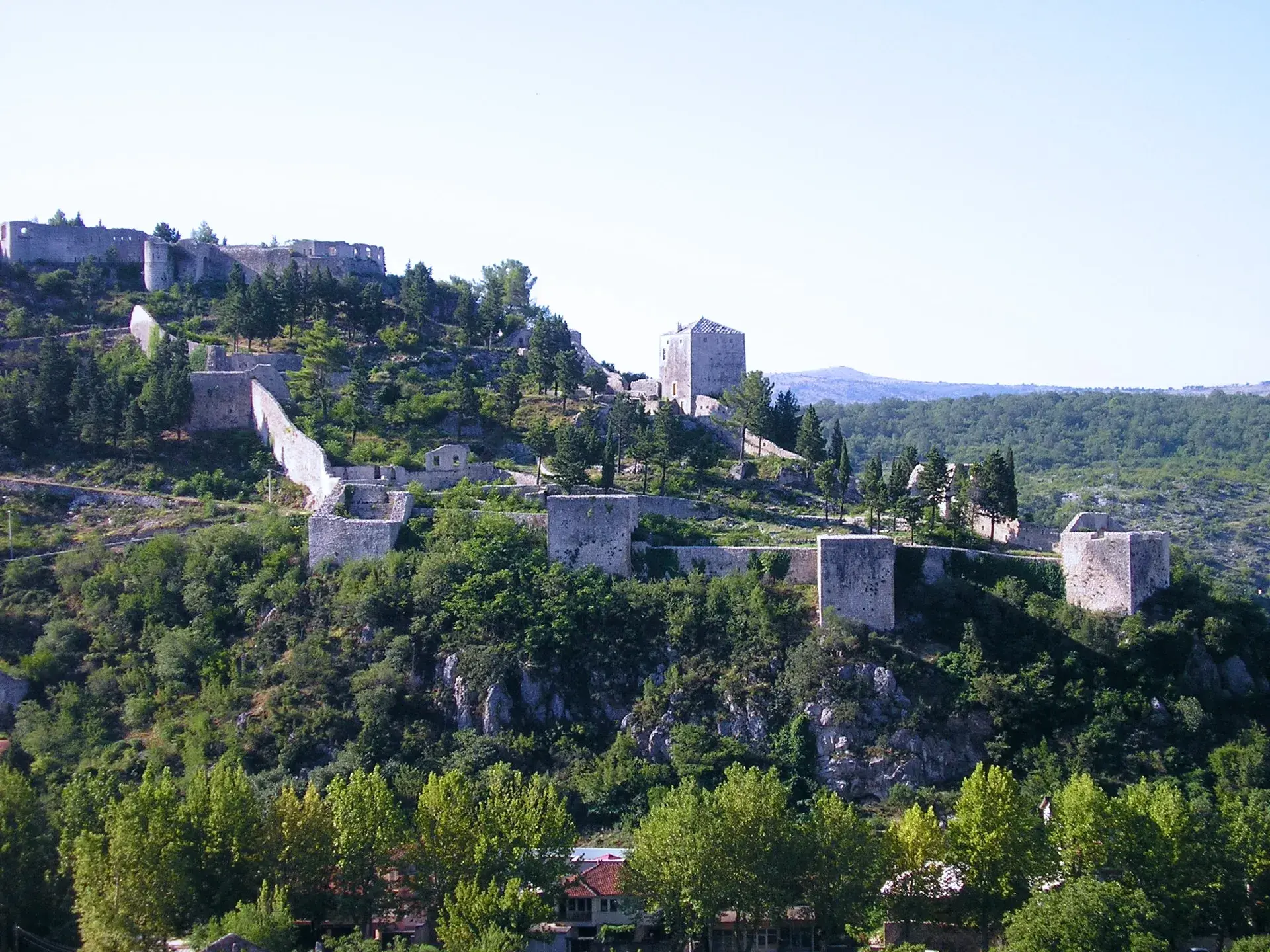
Perched on a steep limestone crest above the Bregava River, Stolac Fort stands as one of the largest fortified defensive complexes in Bosnia and Herzegovina. Officially designated as the Old Town of Stolac (Stari grad Stolac) and historically known as Vidoški grad, this expansive stone stronghold spans roughly 20,503 square meters. Recognized as a National Monument of Bosnia and Herzegovina in 2003, the fortress preserves a layered architectural history spanning late antiquity, the Middle Ages, the Ottoman era, and the Austro-Hungarian period.
The Multi-Tiered Citadel and Water Engineering
The fortress complex is arranged across three connected defensive tiers: the Lower Town (Donji grad), the Middle Town (Srednji grad), and the Upper Town (Gornji grad). Encircled by two-meter-thick dressed limestone ramparts, the citadel was historically reinforced with 13 defensive towers, protected gates, magazines, and garrison quarters, all approached along a 1,200-meter winding road.
Despite its position on a dry karst ridge entirely lacking natural springs, the fortification was engineered to endure long sieges. Builders integrated a sophisticated rainwater collection system consisting of 10 stone-lined cisterns (čatrnje) directly into the courtyards and defensive walls, ensuring a self-sufficient water supply during periods of conflict.
From Ancient Origins to Modern Stronghold
The earliest surviving architectural elements appear in the northern ramparts, where late-antique opus incertum masonry points to Roman-era defensive works. While local folklore historically credited Byzantine Emperor Constantine with founding the fort, archaeological findings confirm functional Roman and late-antique defensive construction rather than an imperial establishment.
The site entered written history on February 19, 1444, as a stronghold belonging to Duke (Herceg) Stjepan Vukčić Kosača. During the medieval era, it safeguarded trade routes connecting the Republic of Ragusa (Dubrovnik) with the Bosnian interior. Its historic name, Vidoški, derived from the Vidoštica, the medieval name for the Bregava River.
The Ottoman Empire captured the fortress in 1465, later expanding it significantly and establishing the seat of the Stolac Captaincy here in 1706. The stronghold saw military action as late as 1832, successfully enduring a siege during the Bosnian uprising. Following the 1878 Austro-Hungarian occupation, military engineers overhauled the upper plateau between 1883 and 1888, constructing an artillery post known as Werk Stari grad that largely encased earlier medieval structures.
Urban Anchor of Stolac
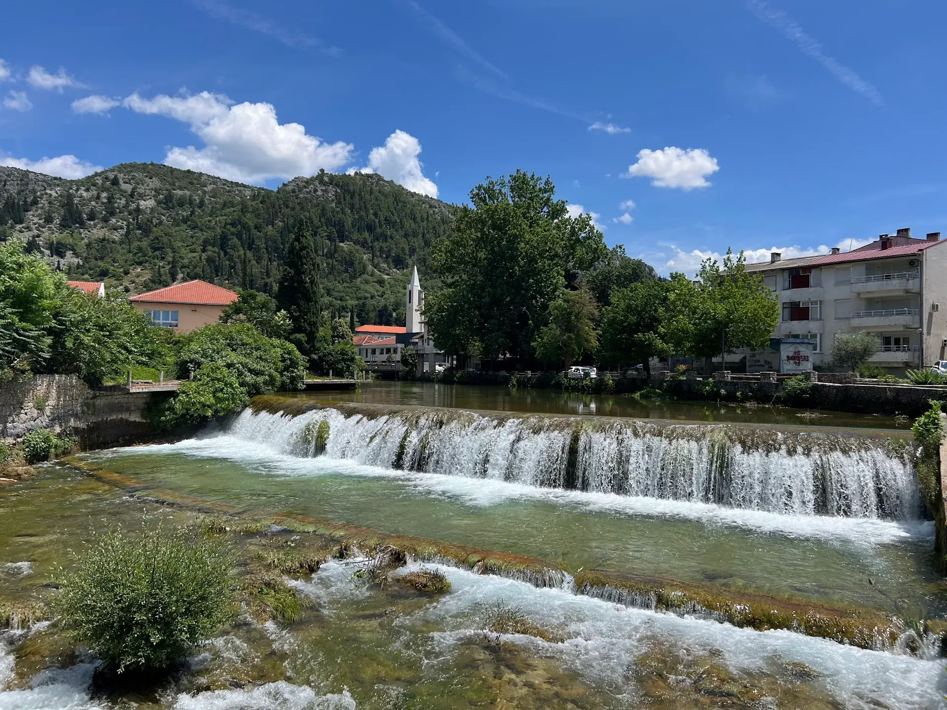
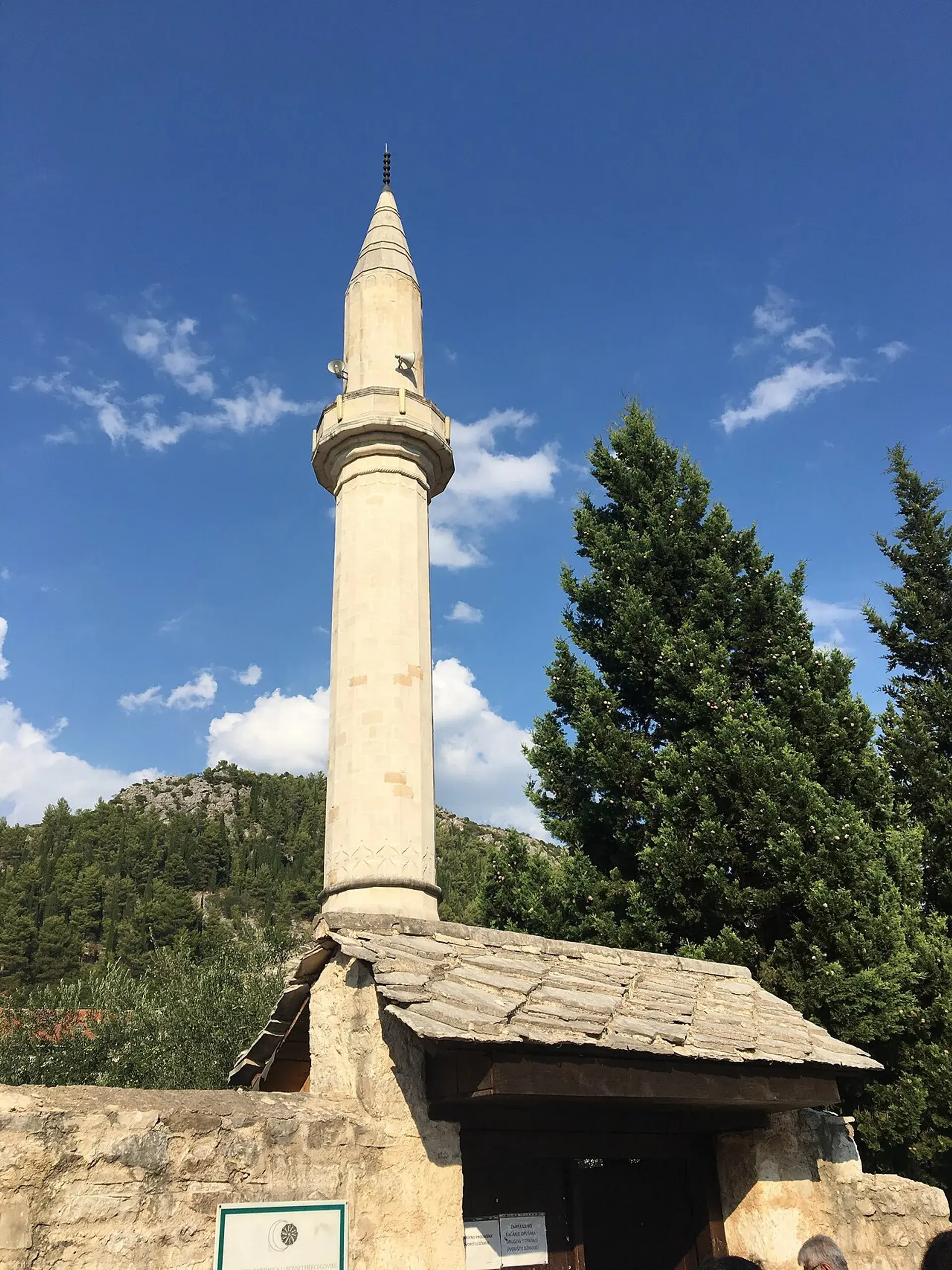
Vidoški Fort served as the visual and strategic catalyst for the entire settlement below. The urban fabric of Stolac—including its riverfront bazaar, mosques, residential quarters, and watermills—developed directly along the Bregava River under the continuous shelter and surveillance provided by the citadel's high ramparts.
Today, the transition to the fortress is marked by an abrupt environmental shift. The ascent leaves behind the shaded fig trees and rushing waters of the river basin, rising along a rocky, exposed limestone footpath. At the summit, constant mountain crosswinds sweep across the bare stone platforms, offering unobstructed views of the valley below.
Modern Use and Heritage Disputes
The complex remains open year-round as an uncurated, open-air archaeological site accessible via a 15- to 25-minute uphill hike from the town center. Since 2015, the upper plateau has served as the setting for Stolačka tarča, an annual medieval festival that brings historical reenactments and archery to the grounds.
The site is also central to ongoing heritage and legal controversies. Post-war concrete religious additions, including a large cross and Stations of the Cross erected within the perimeter, remain contested due to their unauthorized construction inside an internationally recognized and protected historic monument.
FAQ
Why is Stolac Fort also called Vidoški grad?
The fortress derived the name Vidoški grad from the Vidoštica, which was the medieval name of the Bregava River flowing below. Administrative records used the names Vidoški and Stolac interchangeably until late into the 19th century.
How did the garrison obtain water on the arid ridge?
Because the limestone crest has no natural water springs, the fortress relied on an engineered network of 10 stone-lined rainwater cisterns (čatrnje) built directly into the ramparts and courtyards to withstand long sieges.
How long does it take to hike to Stolac Fort?
Visitors reach the open-air archaeological site on foot via a marked, rocky walking trail from the town center, which involves a 15- to 25-minute uphill hike.