Lindau Altstadt: Maximilianstraße's History & Arcades
The Historic Spine of Lindau's Island Old Town
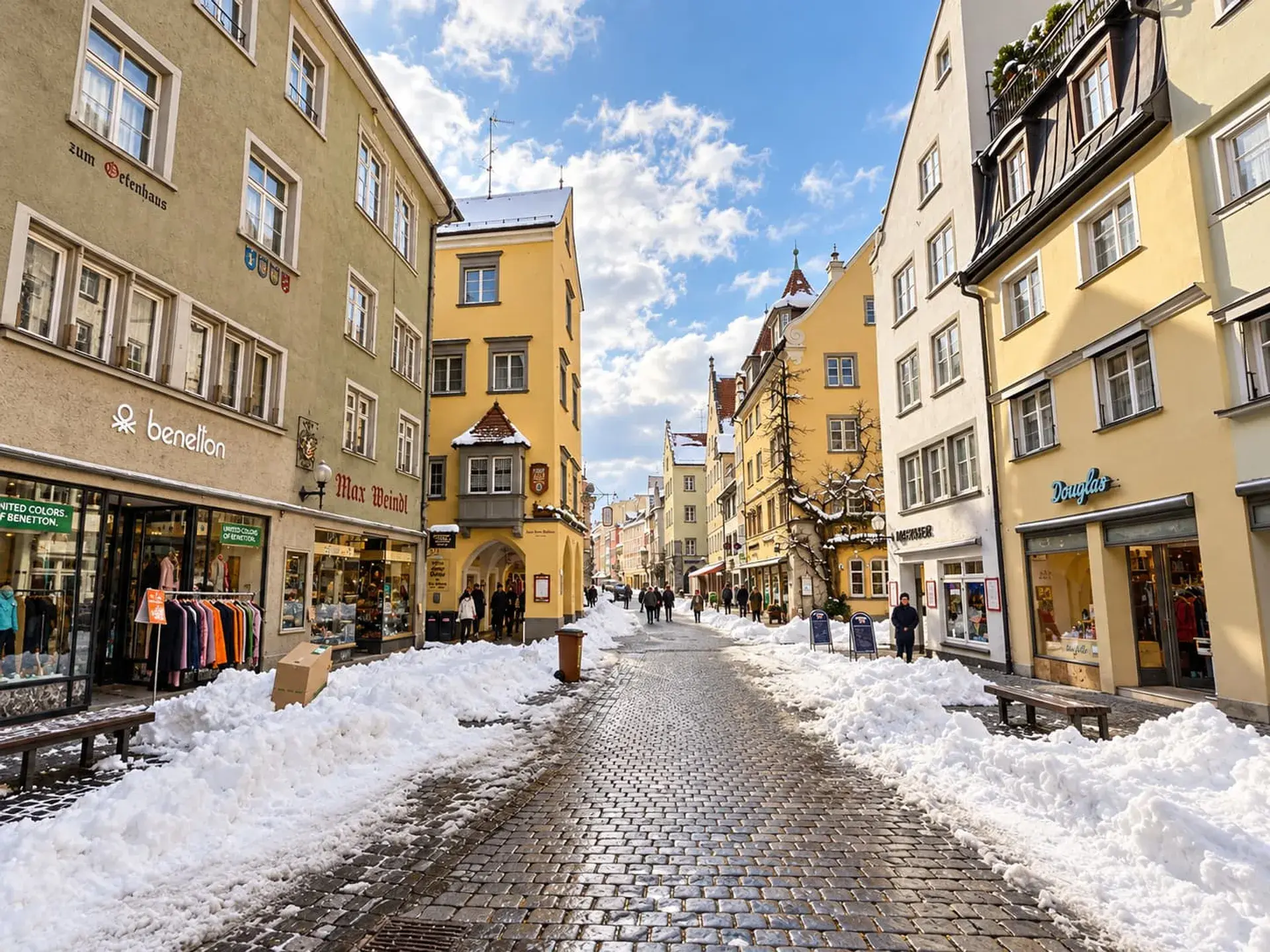
Maximilianstraße serves as the primary east–west thoroughfare of Lindau’s historic island town (Insel-Altstadt). Spanning roughly 230 meters in length and reaching up to 20 meters across at its widest points, this central avenue has served as a designated car-free pedestrian zone since 1973. Physically and culturally, the street embodies the secular and commercial peak of Lindau's era as a Free Imperial City (Reichsstadt), physically bridging the aristocratic convent precinct (Damenstift) at Marktplatz to the east with the island's docklands and harbor facilities to the south and west.
Unlike many Alpine trade settlements where central streets were built as direct transit routes connecting opposing city gates, Maximilianstraße was engineered as an enclosed, self-contained market promenade. The roadway terminated before the island’s defensive moat, deliberately routing heavy through-traffic along peripheral island lanes such as Ludwigstraße and die Grub.
Architectural Heritage: Arcades and Hoist Beams
The streetscape is characterized by dense, harmonious rows of 15th- to 17th-century burgher and patrician residences. These multi-story facades feature stepped gables, roof dormers, bay windows, and projecting timber hoist beams (Giebelkräne). These crane beams were historically installed to winch sacks of grain and heavy trade goods directly from arriving wagons into upper-floor roof storage spaces.
At street level, the architecture is defined by covered ground-floor stone arcades known as Laubengänge or Bodenlauben. Underfoot, the avenue shifts from the central lane's uneven medieval cobblestone paving to smooth, sheltered flagstones beneath the vaulted arches. In addition to offering pedestrians shelter against rain and the brisk winds blowing off Lake Constance, these arcades originally served dual civic functions: they acted as all-weather market stalls for dry trade and kept buyers elevated above the muddy central wagon ruts.
The Three Medieval Market Quarters
During the Middle Ages, Maximilianstraße was divided into three designated trade zones reflecting the town's guild structure:
- The Mezg: The western end of the street, which served as the operational district for the butchers' guild.
- The Brodplatz: The central market area centered around the bakers. It is anchored by the Brotlaube (Haus zur Brotlaube), one of the oldest preserved structures on the street, recorded in 1386. Here, bakers sold bread beneath pointed Gothic arches opposite the bakers' guild house.
- The Alter Markt: The eastern market section dominated by patrician merchants. Its cornerstone is the Haus zum Sünfzen at Maximilianstraße 1, first documented in 1358 as the assembly house for the patrician merchant society (Patriziergesellschaft „Zum Sünfzen“), recognizable by its four-arched ground-floor arcade.
Originally designated by these local guild names and later known simply as Hauptstraße, the avenue was renamed Maximilianstraße around 1815 to honor King Maximilian I Joseph of Bavaria following Lindau’s incorporation into the Kingdom of Bavaria. The name was temporarily replaced in 1936 before being restored later in the 20th century.
Hidden Alleys and Civic Life
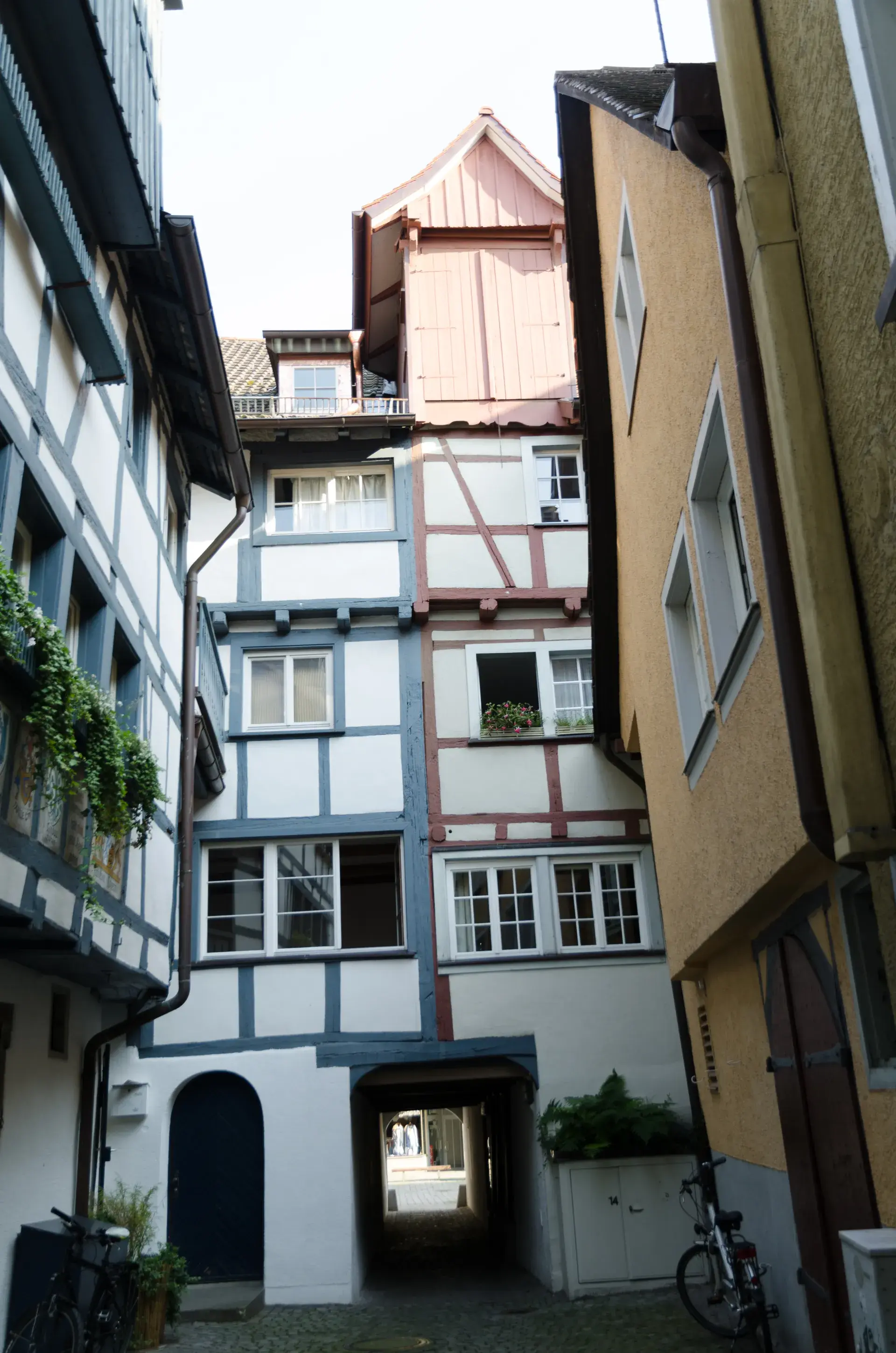
The wide promenade of Maximilianstraße is punctuated at regular intervals by narrow, medieval passages and alleys (Gässchen). Historic side streets such as Zitronengässele (Lemon Alley), Pfeiffergässele, and Schafgasse branch off between the high facades, revealing the dense medieval layout of the island.
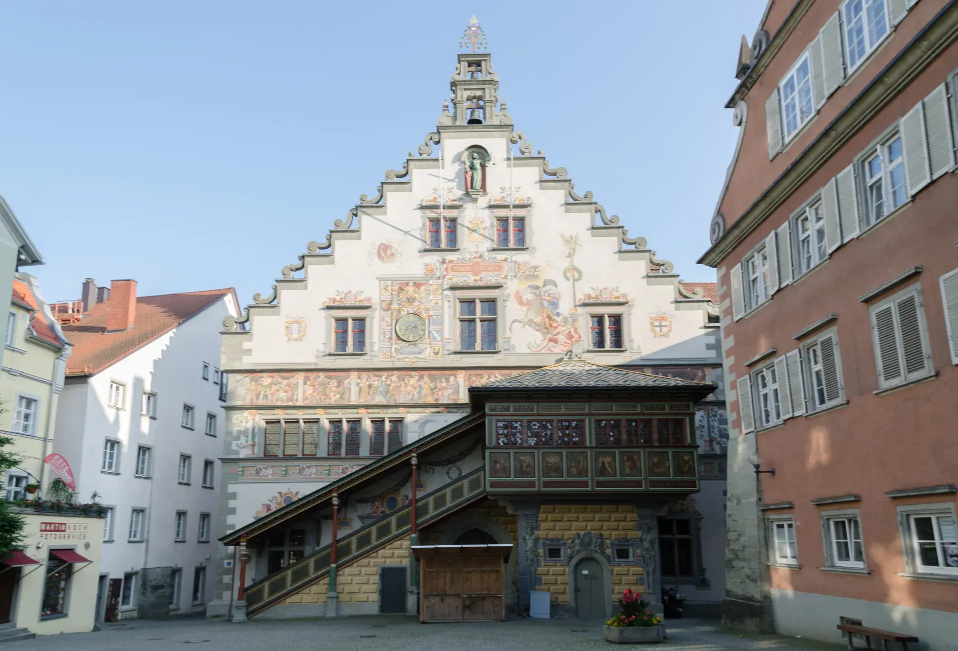
Along with the Haus zum Sünfzen and the Brotlaube, other prominent landmarks along the corridor include the Old Town Hall (Altes Rathaus), Haus Zum Bären, and the historic Weinstube Frey. Today, the street remains the island's primary commercial boulevard. The vaulted arcades and ground floors host independent retail shops, art galleries, cafes, and historic dining spaces such as the Gasthaus Zum Sünfzen. Maximilianstraße also serves as the backdrop for seasonal town events, evening shopping nights, and the annual Lindau Fair (Lindauer Jahrmarkt) held every November.
FAQ
What was the purpose of the covered arcades on Maximilianstraße?
The ground-floor arcades, known as Bodenlauben, served as all-weather market stalls for perishable goods such as bread while functioning as elevated walkways that kept shoppers clean from the mud and wagon ruts of the central street.
Why was Maximilianstraße designed as an enclosed street rather than a through-road?
Rather than running directly between city gates like many Alpine pass routes, Maximilianstraße was engineered as an internal market enclave that ended before the moat, directing transit traffic along peripheral island roads.
How was the street organized in medieval times?
The street was divided into three functional trade districts: the Mezg in the west for butchers, the central Brodplatz around the bakers' Brotlaube, and the Alter Markt in the east centered on the patrician merchant hall, Haus zum Sünfzen.
When did the street become a pedestrian zone?
Maximilianstraße was officially converted into a car-free pedestrian zone in 1973.
Gallery