Belvedere Santa Lucia: Alberobello Rione Monti View
Overview of Belvedere Santa Lucia
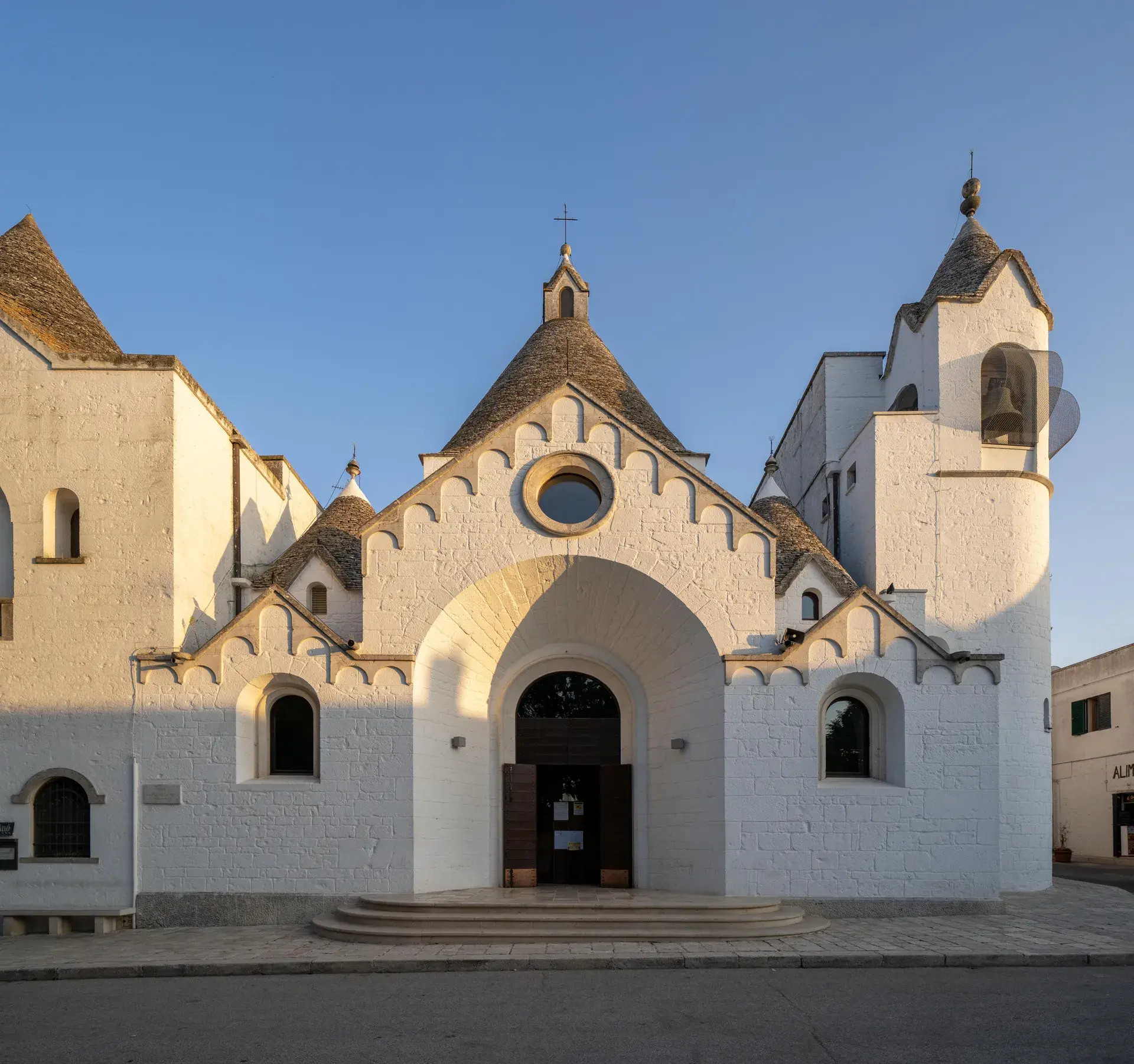
Perched on a natural limestone ridge, the Belvedere con vista panoramica del Rione Monti—often referred to locally as Belvedere Santa Lucia, Terrazza Belvedere, or Balconata di Santa Lucia—serves as the principal orientation point for visitors taking in the historic skyline of Alberobello. Located on Piazza Gian Girolamo II d'Acquaviva d'Aragona immediately adjacent to Piazza del Popolo, the terrace stands beside the 19th-century Church of the Blessed Sacrament (Chiesa di Santa Lucia).
From the stone railing of the terrace, the ground drops into the valley of Largo Martellotta, an ancient natural depression that originally channeled runoff through the settlement. Rising directly on the opposite hillside is the dense cluster of Rione Monti, where more than 1,000 conical dry-stone trulli form an uninterrupted architectural landscape of whitewashed limestone and dark gray stone roofs.
The Boundary Line of Two Alberobellos
Topographically and historically, the Belvedere marks the dividing line between two distinct architectural phases of the town. Alberobello evolved along opposing ridges on either side of the valley. Following the royal decree of 1797 that liberated the settlement from feudal rule, the ridge containing the Belvedere developed into the civic and religious center of the town, defined by mortared masonry buildings such as the Casa d'Amore and the neoclassical Town Hall.
Between 1829 and 1838, the local Confraternity of the Blessed Sacrament (founded in 1823) built their church directly at the edge of this civic ridge. Dedicated also to the town's co-patron Saint Lucy, the sanctuary gave the terrace its enduring colloquial name. Across the hollow, the opposite hillside of Rione Monti retained its strict dry-stone construction traditions, creating a stark visual contrast between the post-1797 royal settlement and the older peasant quarter.
A Hidden Civic War Memorial
While the view from the terrace is frequently photographed as an untouched, fairy-tale landscape, the urban layout visible across the valley contains deliberate twentieth-century civic interventions. On November 19, 1923, the municipal council formally designated the trulli-covered slope as the Zona Monumentale Principe di Piemonte.
During the 1920s, the municipal government systematically renamed the stepped lanes ascending Rione Monti after famous alpine battlegrounds of World War I. Streets visible climbing the hillside, such as Via Monte San Michele, Via Monte Sabotino, Via Monte San Gabriele, and Via Monte Nero, were transformed into an open-air memorial honoring fallen soldiers, embedding military history into the rustic architecture.
Visual Details and Practical Context
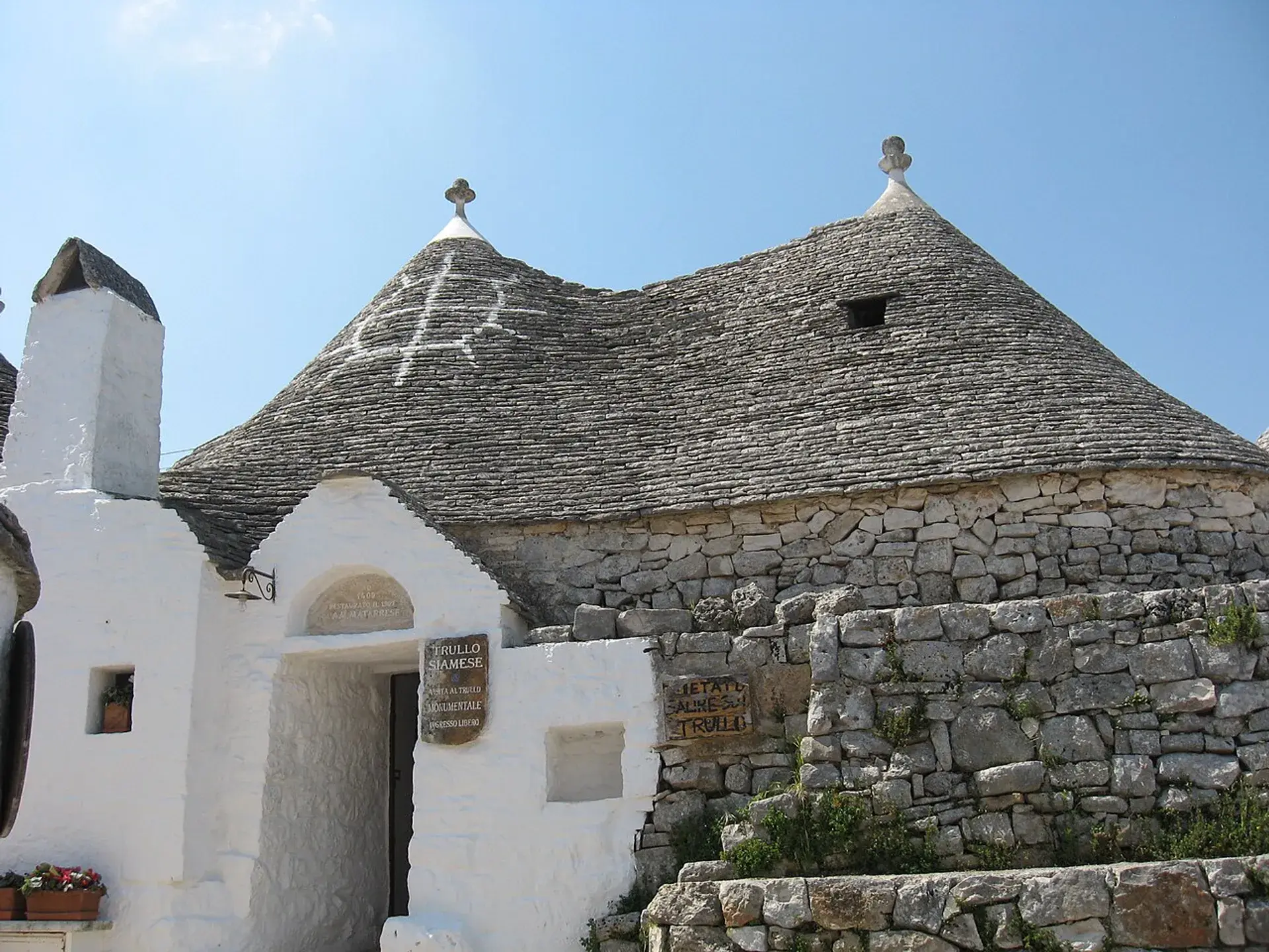
Viewing Rione Monti from eye level across the valley reveals intricate craft details across the trulli cones. Viewers can identify the varied sculpted stone pinnacles (pinnacoli) crowning each roof, alongside diverse white painted symbols. These lime-painted markings include Christian iconography, astrological signs, and folk talismans traditionally applied to protect households against the evil eye.
In addition to functioning as a viewing platform, the terrace serves as a central pedestrian link between the upper civic town and the monumental zones. Wide stone staircases flank the terrace, descending toward Largo Martellotta and providing access to the southern quarters. Ongoing municipal preservation plans include replacing modern asphalt around Piazza Giangirolamo and the viewpoint with traditional limestone slabs (basole) and burying utility cables to comply with UNESCO World Heritage site standards.
The terrace experiences significant foot traffic and congestion around sunset, when visitors gather along the balustrade to watch the low sun illuminate the western-facing slope. In contrast, early morning visits provide unobstructed viewing conditions, while late evening reveals the illuminated stone cones without daytime crowds.
FAQ
What is visible across the valley from Belvedere Santa Lucia?
The viewpoint overlooks the valley of Largo Martellotta and the opposite hillside of Rione Monti, presenting an elevated panoramic view of more than 1,000 dry-stone conical trulli.
Why are the streets in Rione Monti named after mountains?
During the 1920s, following the district's 1923 designation as the Zona Monumentale Principe di Piemonte, the town council renamed the lanes climbing the slope after World War I battlefields—such as Via Monte San Michele and Via Monte Sabotino—to serve as a civic memorial.
What do the white markings on the trulli roofs signify?
The white figures painted with lime on the stone roofs represent a combination of protective folk talismans against the evil eye, astrological markings, and Christian symbols introduced in later periods.
When is the best time to avoid crowds at the Belvedere?
The terrace tends to experience heavy congestion during sunset. Visiting during the early morning provides clear daylight with minimal foot traffic, while late evening offers a quiet perspective of the illuminated trulli.