Mura di Tarquinia: History of the Medieval Walls
The Fortifications of Medieval Corneto
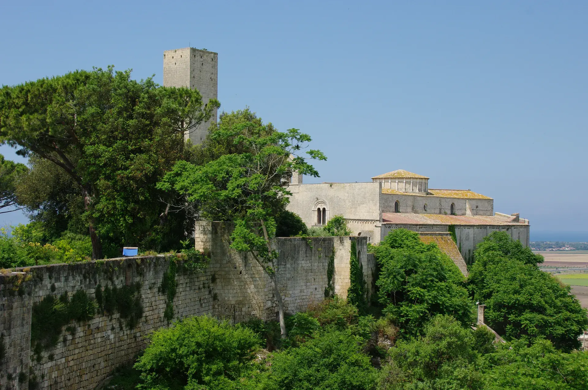
The defensive perimeter known as the Mura di Tarquinia defines the historical boundary of the hilltop town once called Corneto, which was officially renamed Tarquinia in 1922. Ancient Etruscan Tarquinia (Tarchna) originally stood on the nearby Pian di Civita plateau, facing its burial grounds across the valley on the Monterozzi ridge. Between the 6th and 8th centuries, recurring coastal raids and the prevalence of malaria forced inhabitants to abandon the Civita plateau. They relocated to the western edge of the Monterozzi ridge, establishing a secure, fortified settlement atop the ancient necropolis territory.
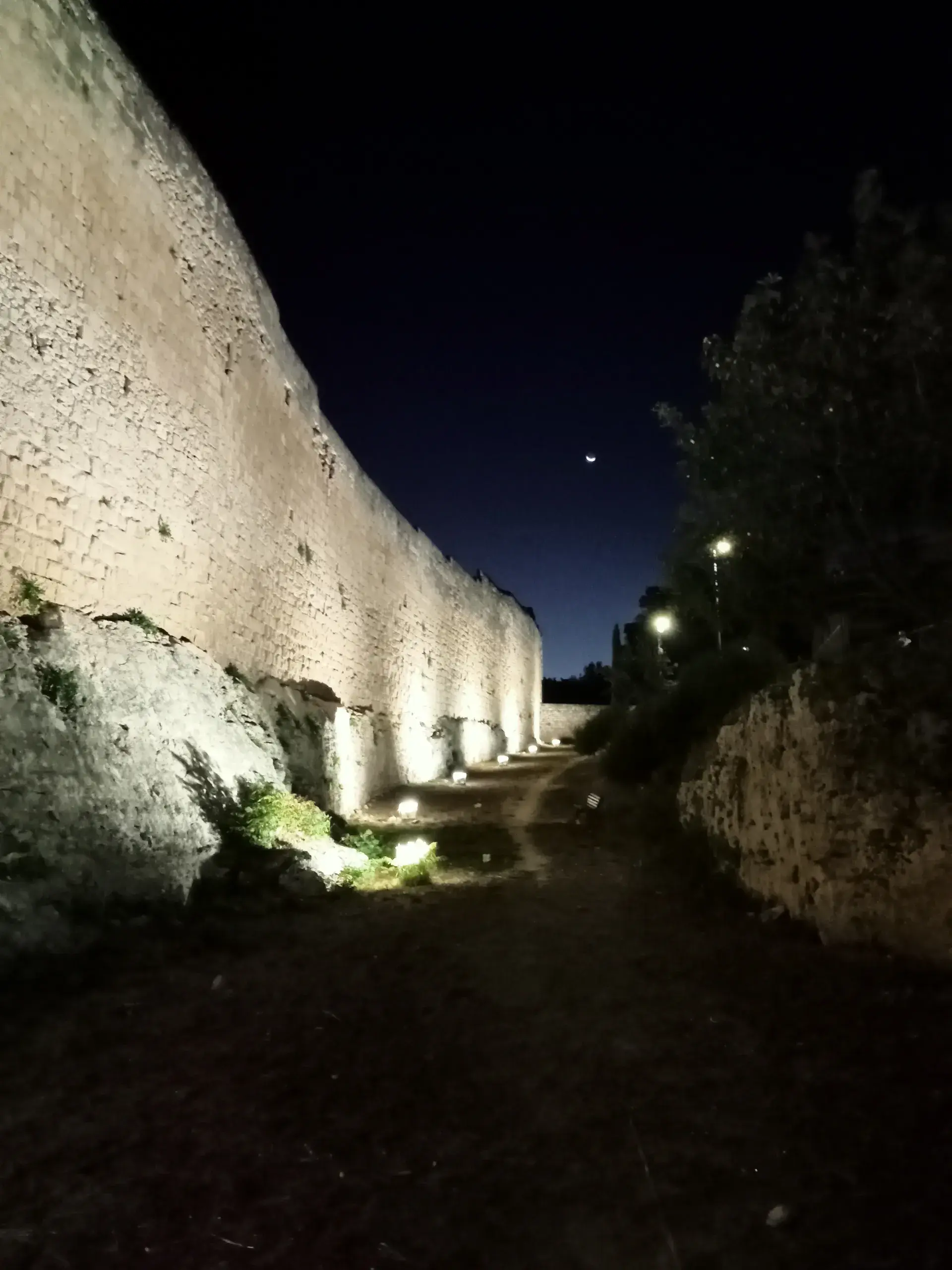
During its period as a prosperous maritime commune and grain port between the 11th and 14th centuries, Corneto reinforced its strategic position with an extensive system of defensive curtain walls and watchtowers. While dozens of towers once punctuated the town's perimeter, roughly 18 to 20 still survive. The walls and their flanking structures were constructed using regional sedimentary stone, primarily tufa and calcarenite varieties known locally as macco and nenfro, giving the masonry its characteristic texture and golden tone.
Porta Tarquinia and the Eastern Walls
The eastern sector of the wall circuit centers on Porta Tarquinia, historically the principal eastern gateway connecting the commune to inland agricultural lands. Above the portal arch, weathered stone carvings display civic insignia alongside the Latin motto TANDEM and 16th-century heraldic emblems associated with municipal magistrates.
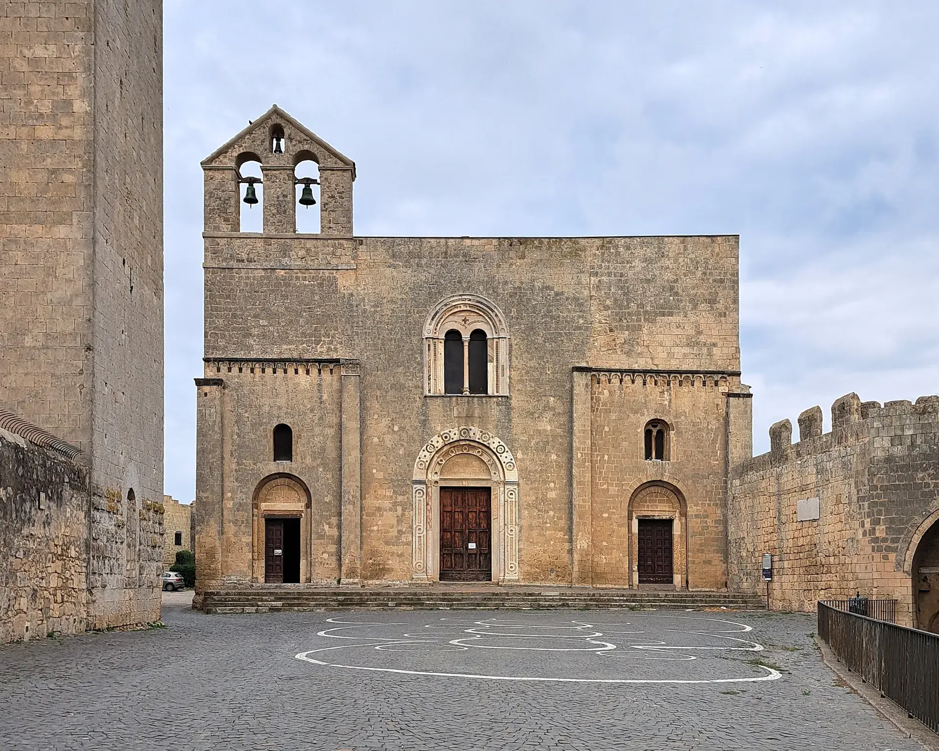
Directly inside the defensive curtain adjacent to the gate stands the 13th- to 14th-century Church and Convent of San Francesco. Local tradition attributes the establishment of this monastic complex to an earlier chapel where Francis of Assisi reportedly performed a miracle to protect local children. Along the exterior base of the fortifications stretches the Parco delle Mura, a public green space used for leisure, community festivals, and musical performances. Today, Porta Tarquinia remains an active entry point into the historic center, regulated by municipal electronic traffic systems (ZTL).
The Corridor to the Monterozzi Necropolis
The eastern walls serve as the physical seam where medieval urbanism meets the ancient Etruscan necropolis. Passing out of the town through Porta Tarquinia brings an immediate environmental shift: the enclosed, shaded corridors of golden macco buildings give way to wide, open countryside bathed in Tyrrhenian coastal breezes and framed by olive groves and Mediterranean pines.
From the gate, the route follows Via Ripagretta and the Strada Provinciale della Necropoli eastward for roughly 800 meters to 1 kilometer, terminating at the visitor entrance to the UNESCO-listed Monterozzi Necropolis. This ridge took its name from the Italian words for mounds (monticelli or rozzoni), referencing more than 600 earthen tumuli that originally crowned the underground tomb chambers before centuries of agricultural plowing flattened the surface. The path forms a continuous cultural link between the artifacts preserved inside Palazzo Vitelleschi and the subterranean painted tombs—a route notably traversed by English author D.H. Lawrence in April 1927 while researching his travel book Etruscan Places.
FAQ
What materials were used to construct the Mura di Tarquinia?
The medieval curtain walls and towers were built primarily using local sedimentary stones, specifically calcarenite and tufa varieties known as macco and nenfro.
Why were the medieval defenses built on the Monterozzi ridge?
Residents relocated from the original Etruscan city at Pian di Civita between the 6th and 8th centuries to escape coastal raids and malaria, establishing the fortified town of Corneto directly on the western extremity of the Monterozzi ridge.
How far is the walk from Porta Tarquinia to the Monterozzi Necropolis?
The route from Porta Tarquinia along Via Ripagretta and the Strada Provinciale della Necropoli covers approximately 800 meters to 1 kilometer to reach the main visitor entrance.